What is recorded here
Situated on a low SE facing slope of natural rise in well drained pasture land. Excellent views of the hills to the N & NNE, of gently undulating land in other directions. Ringfort (WM003-063----) 370m to NNE, ringfort (WM003-061----) 130m to SSW, ringfort (WM003-059----) 270m to NNW. The interior of the fort is higher than the ground immediately outside the bank. A circular raised area (diam. 28m NW-SE) defined by an earth and stone bank which has been levelled from SSE-S-W, no external fosse visible, a gap (Wth 3-5.2m) at NW may be the remains of an entrance feature. The bank and a small part of the interior have been quarried away from NNE-E. Some large stones on the inside of the bank may represent internal revetment, but this is not certain. The interior slopes from W-E. There are slight traces of old cultivation ridges running N-S across the interior.
Compiled by: Frank Coyne & Caimin O'Brien
Date of upload: 29 November 2016
The monument record does not grant public access. Check the route and ask the landowner before entering private land.
- What survives
- Recorded monument
Places near here
 Partially hachuredFairy fort / earthen ringfort · 347 yd
 Lady WellHoly well · 660 yd
 Gilbertstown Housemiller's house · 989 yd
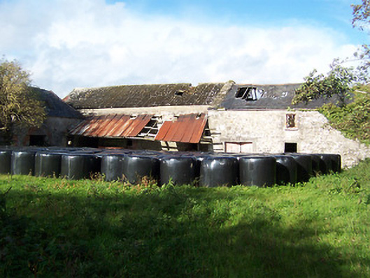 Gilbertstown Millsmill (water) · 1022 yd
 CastleCastle, tower house · 1296 yd
 European ashEuropean ash · 1590 yd
 Hachured, dotted outlineCastle, motte and bailey · 1.3 mi
 Silver FirSilver Fir · 1.3 mi
 Rock of CurryCliff · 1.8 mi
 Mullaghmeen ForestPicnic place · 3.5 mi
 Mullaghmeen Red WalkWalking route · 3.7 mi
 Mullaghmeen White WalkWalking route · 3.8 mi