What is recorded here
Indicated is a graveyard on a hillock in County Meath where Rathcore’s parish church once stood beside St Ultan’s well. Its headstones mostly date from the late 1700s onward, yet one stone carries a 17th-century mark, suggesting death and memory continued long before the walls closed the ground. The font from that lost church still waits in a later porch, carrying water and prayer across centuries.
Situated on a hillock with a small SE-NW stream and St Ultan's well (ME048-026----) c. 100m to the NE. The site of the parish church of Rathcore (ME048-002----) is within a subrectangular graveyard (dims c. 68m NW-SE; c. 57m NE-SW) defined by masonry walls and hedges, but according to the Dopping visitation (1682-5) it was not enclosed in the late 17th century (Ellison 1972, 9). The font (ME048-002002-) which was in the graveyard (Roe 1968, 126) is now kept in the porch of the Church of Ireland church. The headstones date largely from c. 1780 to the present, but one has a 17th century date (ME048-002004-), and the cross (ME048-002003-) is also in the graveyard.
Compiled by: Michael Moore
Date of upload: 9 April, 2015
The monument record does not grant public access. Check the route and ask the landowner before entering private land.
- What survives
- Recorded monument
Places near here
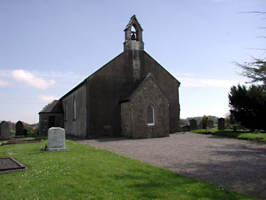 Saint Ultan's Church (Rathcore)church/chapel · 19 yd
 Font in RathcoreFont · 25 yd
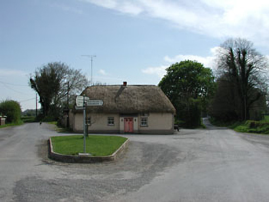 J. Bogganhouse · 115 yd
 Tober UltanHoly well · 141 yd
 CastleCastle, motte · 1042 yd
 Wych ElmWych Elm · 2.0 mi
 Bawn in Newcastle (moyfenrath Lower By.)Bawn · 2.4 mi
 Cloncurry GraveyardHeritage attraction · 3.2 mi
 Old Bog Road made famous by Teresa Bryton 1868-1943Memorial · 3.9 mi
 Common LimeCommon Lime · 4.3 mi
 Croppies' GraveMemorial · 6.5 mi
 The Grill ShackHeritage attraction · 7.1 mi