What is recorded here
On top of flat pasture with good views in all directions, nearby ringfort (TS043-013----) is located 170m to the NNW and a field system (TS043-012----) lies 480m to the NNW. Barely visible outline of a levelled enclosure consisting of a slightly sunken circular area (diam. approx. N-S 40m; E-W 38m; D 0.2m) which is depicted on both the 1st and 2nd eds of the OS 6-inch map as a circular enclosure with gaps in the bank at the N and S. A modern piggery is located 100m to the S. A field boundary, depicted on the 2nd (1903) OS 6-inch map, to the S of the enclosure has been removed.
Compiled by: Jean Farrelly
Date of upload: 26 August 2011
This remains an important historical record, but the official description says the monument is no longer visible or has been destroyed. The monument record does not grant public access. Check the route and ask the landowner before entering private land.
- What survives
- No visible remains or recorded as destroyed
Places near here
 RathbegFairy fort / earthen ringfort · 195 yd
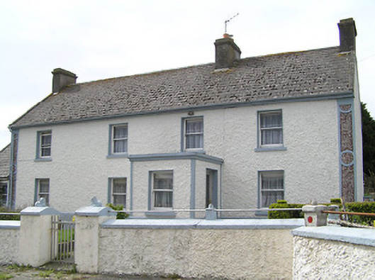 farm housefarm house · 1023 yd
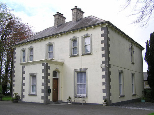 presbytery/parochial/curate's housepresbytery/parochial/curate's house · 1284 yd
 RathkianFairy fort / earthen ringfort · 1.2 mi
 Fennor Castle (in Ruins)Castle, unclassified · 1.5 mi
 Bawn in GraiguepadeenBawn · 1.6 mi
 Kilcooly AbbeyHeritage attraction · 1.8 mi
 KilcooleyForest · 2.0 mi
 Serpentine WoodForest · 2.4 mi
 Bregaun HillMountain / peak · 3.5 mi
 John HelyMemorial · 4.6 mi
 DelaneyMemorial · 4.7 mi