What is recorded here
Fairy fort / earthen ringfort in Rath Upper is a fairy fort or earthen ringfort in Rath Upper, County Westmeath, Ireland. The site occupies a raised sub-circular area on a slight rise in wet marshy land near a stream that lies fifty metres to the north, where it forms the townland boundary with Coolvin. This earthwork consists of two earthen banks enclosing an intervening shallow fosse, with the inner bank poorly preserved and the wide fosse infilled at the south and west sides. The low outer bank is only visible at the north, leaving the rest of the perimeter less distinct on the ground.
Situated on a slight rise in an area of wet marshy land near a stream while lies 50m to the N and forms the townland boundary with Coolvin. A raised sub-circular shaped area (approx. diam. 27m N-S; 30m E-W) enclosed by two earthen banks with an intervening shallow fosse. The inner bank is poorly preserved and fragmentary, the wide fosse has been infilled at S and W, and the low outer bank is only visible at N.
See attached profile of monument surveyed and drawn by the ASI.
Compiled by: Frank Coyne and Caimin O'Brien
Date of upload: 13 September 2018
The monument record does not grant public access. Check the route and ask the landowner before entering private land.
- What survives
- Recorded monument
Places near here
 Partially hachuredFairy fort / earthen ringfort · 920 yd
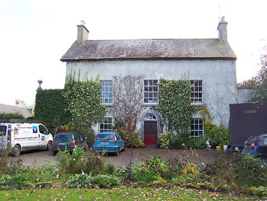 Noughaval Househouse · 1280 yd
 Ecclesiastical enclosure in NoughavalEcclesiastical enclosure · 1343 yd
 Noughaval CemeteryArchaeological place · 1348 yd
 CastleCastle, motte and bailey · 1.0 mi
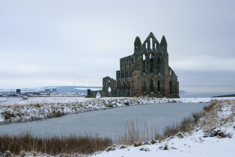 AbbeyReligious house, Carmelite friars · 1.1 mi
 European BeechEuropean Beech · 2.2 mi
 Ardnagragh CastleCastle, tower house · 2.3 mi
 Target WoodWood · 4.1 mi
 Guest ServicesVisitor information · 4.1 mi
 Craft WorkshopHeritage attraction · 4.2 mi
 Newcastle WoodsForest · 4.3 mi