
What is recorded here
Partially hachured is a fairy fort or earthen ringfort in Rath (moygoish By., Rathowen Ed), County Westmeath, Ireland. The site occupies a roughly circular area measuring 45 metres north to south and 42 metres east to west, enclosed by a poorly preserved earthen bank and a slight fosse from east to south. A post-1700 field fence running northwest to southeast intersects the outer bank and external fosse at the northeast, while the slightly raised interior shows traces of cultivation ridges running north to south.
Situated on a slight natural rise in gently undulating pasture land with good views in all directions. Ring-barrow (WM006-002---) 420m to W. A roughly circular area (diam. 45m N-S; 42m E-W) enclosed by a poorly preserved earthen bank and a slight fosse from E-S. The outer bank and external fosse are intersected at NE by a post-1700 field fence running NW-SE. The slightly raised interior has traces of cultivation ridges running N-S across the monument.
Compiled by: Frank Coyne & Caimin O'Brien
Date of upload: 26 January 2017
The monument record does not grant public access. Check the route and ask the landowner before entering private land.
- What survives
- Recorded monument
Places near here
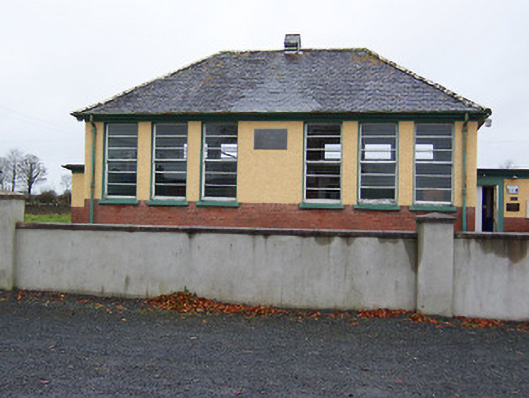 Rath National Schoolschool · 315 yd
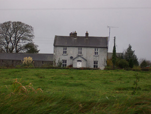 Tinode Househouse · 510 yd
 Partially indicatedFairy fort / earthen ringfort · 876 yd
 MoatCastle, motte and bailey · 1008 yd
 CastleCastle, motte · 1455 yd
 Ecclesiastical enclosure in RussaghEcclesiastical enclosure · 1542 yd
 Silver FirSilver Fir · 2.3 mi
 Sweet ChestnutSweet Chestnut · 3.2 mi
 Edgeworthstown BypassMemorial · 4.6 mi
 Bridge Memorial (Kenna)Memorial · 5.5 mi
 Granard MotteMotte-and-bailey castle remains · 6.9 mi
 1798 Monumentmonument · 7.0 mi
Other information
Photo: Credit not shown in the picture search · Rights wording not checked; contact us if this picture should be removed