What is recorded here
In an expanse of rolling, reclaimed pasture, straddling the SE-facing slope of a rise, with good views to SE–W–N. There is rising ground to NE–E.
This ringfort has been partly levelled. It survives as a raised, circular area (21.6m N–S; 21m E–W) defined by a broadly slumped scarp (Wth slope 3.7m at N, 6m at S; H 0.5m at N, 1.6m at S). The enclosure appears to have been built up on the S half to compensate for the natural slope. The interior slopes down from NW to SE. A slight, roughly circular rise (diam. 3-4m) can be discerned in the E half of the interior, but its significance is unclear.
A rath (MA074-004----/MA073-020----) is located c. 300m to ENE in the same field, and another rath (MA073-017----) is c. 200m to NW.
Compiled by: Jane O’Shaughnessy
Date of upload: 4 June 2021
The monument record does not grant public access. Check the route and ask the landowner before entering private land.
- What survives
- Recorded monument
Places near here
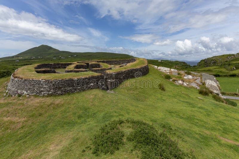 Cashelgal FortFairy fort / stone ringfort · 392 yd
 Cross (Remains of)Cross · 581 yd
 farm housefarm house · 662 yd
 Church in Rusheens WestChurch · 1254 yd
 Crunaun Castle (in ruins)Castle, unclassified · 2.4 mi
 Casatle (ruins)Castle, unclassified · 2.8 mi
 Bockagh HillMountain / peak · 4.1 mi
 East Mayo Brigade MonumentMemorial · 7.8 mi
 Bawn IslandIslet · 9.4 mi
 Rose PointHeadland · 10.0 mi
 Crow IslandIslet · 10 mi
 Castle PointHeadland · 10 mi