What is recorded here
The Civil Survey (1654-6) mentions a thatched house on churchland in the parish of Raheny (Simington 1945, 172).The exact location of this monument is unknown.
Compiled by: Geraldine Stout
Date of upload: 26 August 2011
The monument record does not grant public access. Check the route and ask the landowner before entering private land.
- What survives
- Recorded monument
Places near here
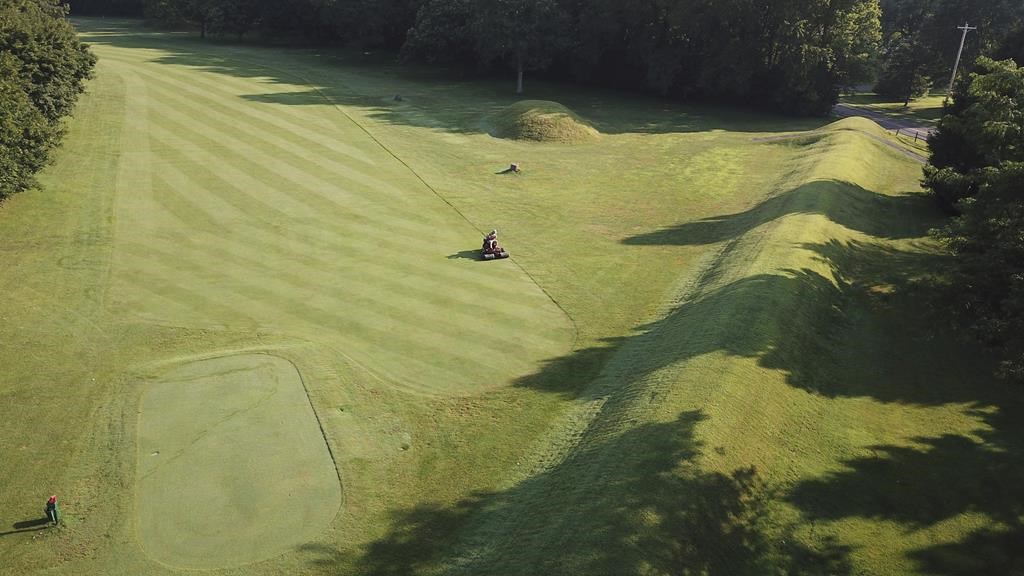 Earthwork in RahenyEarthwork · 438 yd
 ExcavationExcavation, miscellaneous · 564 yd
 Horestone Housefarm house · 864 yd
 Joe’s BridgeMemorial · 1091 yd
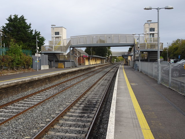 Rush and Lusk Railway Stationrailway station · 1099 yd
 LuskMemorial · 1136 yd
 CastleCastle, unclassified · 1.2 mi
 Castle (in ruins)Castle, Anglo-Norman masonry castle · 1.9 mi
 The MillbankVisitor information · 2.0 mi
 Rush South BeachBeach / strand · 2.2 mi
 Turvey Allotments and Nature ReserveNature reserve · 2.5 mi
 Picnic AreaPicnic place · 2.8 mi