
What is recorded here
Excavations in 1993 in advance of the gas interconnector pipeline revealed the truncated remains of field drainage ditches and gullies, substantial ditch features, a rectangular structure (Diam. 2.5m E-W, 3.5m N-S, possibly mud walled) and the remains of a Late Bronze Age food vessel . Finds also include some flint, green-glazed sherd of 13th-14th century pottery indicating a multi-period site.There was also a peculiar decorated mudstone which had a face image carved out on either side (Cassidy, B. 1994, 32-3).
Compiled by: Geraldine Stout
Date of upload: 26 August 2011
The monument record does not grant public access. Check the route and ask the landowner before entering private land.
- What survives
- Recorded monument
Places near here
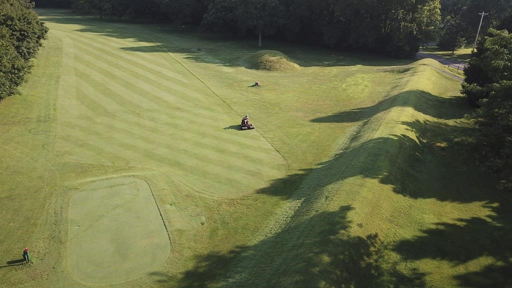 Earthwork in RahenyEarthwork · 165 yd
 Joe’s BridgeMemorial · 668 yd
 Fulacht fia in Tyrrelstown LittleFulacht fia · 695 yd
 LuskMemorial · 787 yd
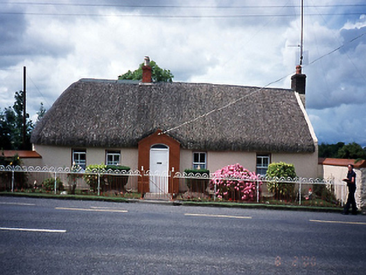 Rose Cottagehouse · 959 yd
 Kiln in LuskKiln · 1004 yd
 CastleCastle, unclassified · 1494 yd
 Castle (in ruins)Castle, Anglo-Norman masonry castle · 1.8 mi
 The Birds of Rogerstown EstuaryVisitor information · 2.3 mi
 Picnic AreaPicnic place · 2.5 mi
 Turvey Allotments and Nature ReserveNature reserve · 2.7 mi
 Newbridge House and DemesneHeritage attraction · 3.3 mi
Other information
Photo: Credit not shown in the picture search · Rights wording not checked; contact us if this picture should be removed