What is recorded here
Marked as large embanked enclosure (ext. diam. c. 65-70m) on the 1839 ed. of the OS 6-inch map with the bank missing NW-NE. It is marked on the 1925 ed. of the map as a more formless area (dims. c. 0.65m x c. 0.65m). Situated on a W-facing slope, nothing is visible at ground level in pasture, and it remains unplanted in a coniferous wood (OSI aerial photographs 2005).
The above description is derived from the published 'Archaeological Inventory of County Wexford' (Dublin: Stationery Office, 1996). In certain instances the entries have been revised and updated in the light of recent research.
Compiled by: Michael Moore
Date of upload/revision: 12 April, 2012
The monument record does not grant public access. Check the route and ask the landowner before entering private land.
- What survives
- Recorded monument
Places near here
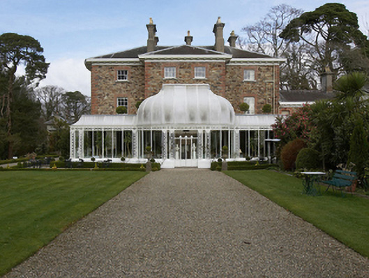 Marlfield Househouse · 389 yd
 IndicatedFairy fort / earthen ringfort · 425 yd
 KilnKiln, corn-drying · 627 yd
 Enclosure in Knockduff (ballaghkeen By., Courtown Ed)Enclosure · 1030 yd
 Banoge HillMountain / peak · 1709 yd
 Market HouseHeritage attraction · 1.1 mi
 Kia Ora Mini FarmHeritage attraction · 1.2 mi
 Carriganeagh RockMountain / peak · 1.3 mi
 1798 MonumentMemorial · 1.3 mi
 Holm OakHolm Oak · 1.9 mi
 Courtown WoodsWood · 2.0 mi
 Saint Brigid's WellSpring · 7.3 mi