What is recorded here
Situated on a low rise, in pasture, with a large subcircular-shaped pond c. 70m to ESE. Depicted as an earthwork on Larkin’s 1808 Map of Co. Westmeath (NLI, MS 46,580). Not depicted on the 1837 ed. OS 6-inch map or the revised 1913 ed. OS 25-inch map. Monument described in 1978 as no surface remains visible.
Compiled by Alison McQueen, Vera Rahilly and Caimin O’Brien.
Date of upload: 27 August 2019
The monument record does not grant public access. Check the route and ask the landowner before entering private land.
- What survives
- Recorded monument
Places near here
 gates/railings/wallsgates/railings/walls · 403 yd
 OutlinedEnclosure, large enclosure · 907 yd
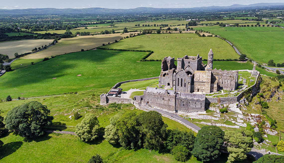 Partially hachuredFairy fort / earthen ringfort · 1489 yd
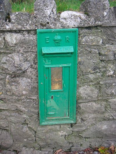 post boxpost box · 1514 yd
 CastleCastle, unclassified · 1629 yd
 Japanese pagoda treeJapanese pagoda tree · 1.7 mi
 Bawn in ClareBawn · 2.1 mi
 Dún na Sí Heritage CentreMuseum · 4.1 mi
 Dún na SíMuseum · 4.2 mi
 Charles BianconiMemorial · 4.2 mi
 Moate HillMountain / peak · 4.3 mi
 European BeechEuropean Beech · 7.7 mi