What is recorded here
Fairy forts hide inside ordinary fields, waiting for memory rather than medals. That is what the lost ring in Rahan became when fences and men removed its shape. A low arc still rises where the circle touched the sky, preserving the difference between ownership and witness.
In pasture, on SE-facing slope. According to local information, ringfort levelled with surrounding field fences c. 1964. Arc formed by low rise (max. int. H 0.4m; max. ext. H 1m) remains N->SE.
The above description is derived from the published 'Archaeological Inventory of County Cork. Volume 4: North Cork' (Dublin: Stationery Office, 2000). In certain instances the entries have been revised and updated in the light of recent research.
Date of upload/revision: 14 January 2009
The monument record does not grant public access. Check the route and ask the landowner before entering private land.
- What survives
- Recorded monument
Places near here
 Enclosure in RahanEnclosure · 1472 yd
 Rahan WellHoly well · 1755 yd
 IndicatedChurch · 1.2 mi
 RockforestCountry house · 1.4 mi
 Carrig Castle (in Ruins)Castle, tower house · 1.6 mi
 Killavuleen LOOPVisitor information · 1.8 mi
 Cave in BallymacmoyCave · 1.9 mi
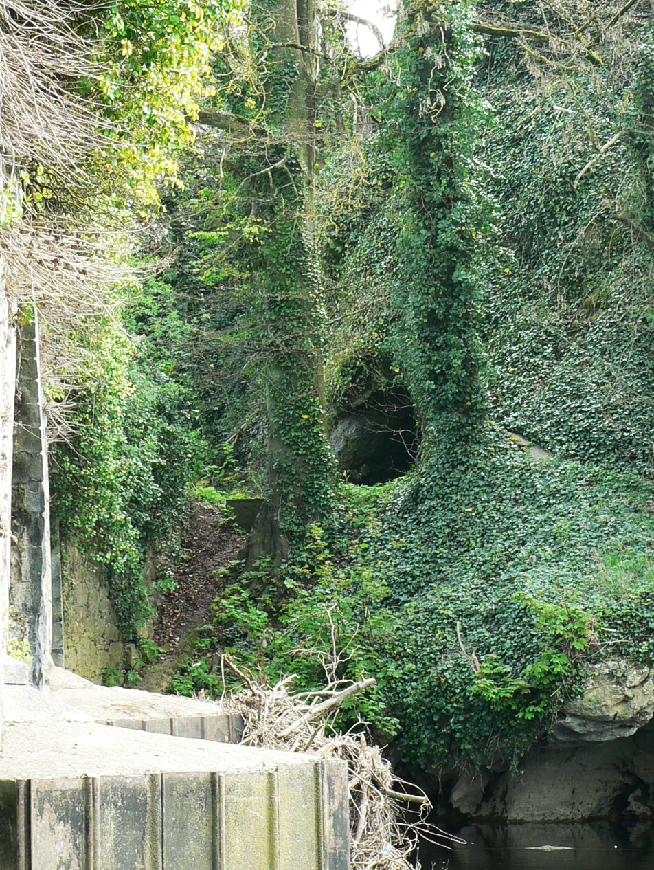 Killavullen CavesCave · 1.9 mi
 Monanimy CastleCastle, tower house · 2.2 mi
 SeefinMountain / peak · 3.9 mi
 Mallow River TrailVisitor information · 4.6 mi
 In loving memory of Elvis O'DonoghueMemorial · 4.6 mi