What is recorded here
Crannog in Quigelagh is a grass-covered oval mound, thirty-seven metres long and two metres high at its northern edge, hidden inside a low basin between drumlins in County Meath. It never appeared on official maps, and no piles, kerbs or artefacts have been found, leaving its purpose in shadow. Perhaps people built it to rise above flooding water, or perhaps they shaped the land for reasons now lost. The mound still stands, quiet and unmarked, waiting for someone to ask it what it remembers.
Situated in a relatively low-lying basin (diam. c. 200m) between drumlins. It is not depicted on any edition of the OS 6-inch map. It is described in 1977 (NMI file) as an oval grass-covered mound (dims 37m N-S; 20m E-W; H c.1m at S to 2m at N), but no kerbing, piles or artefacts are known from it.
The above description is derived from the published 'Archaeological Inventory of County Meath' (Dublin: Stationery Office, 1987). In certain instances the entries have been revised and updated in the light of recent research.
Compiled by: Michael Moore
Date of revision: 3 September 2018
The monument record does not grant public access. Check the route and ask the landowner before entering private land.
- What survives
- Recorded monument
Places near here
 IndicatedFairy fort / earthen ringfort · 1079 yd
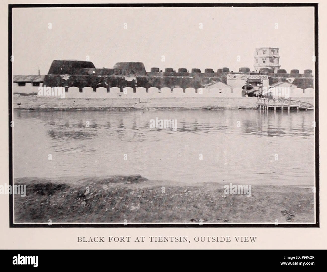 Black FortFairy fort / earthen ringfort · 1.0 mi
 CastleCastle, tower house · 1.5 mi
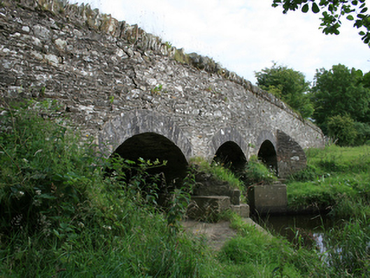 Annesbrook Bridgebridge · 1.5 mi
 UghtyneillMountain / peak · 1.5 mi
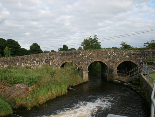 Rosehill Bridgebridge · 1.6 mi
 North Mullaghmore WoodWood · 1.9 mi
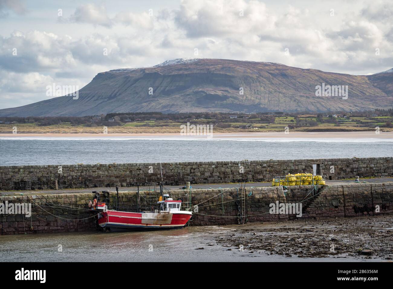 South Mullaghmore WoodWood · 2.0 mi
 Castkecome RuinsCastle, unclassified · 2.2 mi
 Moynalty Steam Threshing MuseumMuseum · 3.0 mi
 Sally IslandIslet · 3.1 mi
 Crow IslandIslet · 3.3 mi