What is recorded here
Hachured is a large oval bawn on a low Limerick rise, its north-east edge open and its south-west edge cut by a precipice cliff. The earthwork still bumps through improved pasture beside a disused quarry, while a castle marker sits within the same boundary. People may have stood at the open edge to watch the valley or keep livestock inside the curve, using the cliff as a wall nature had already built.
On a low rise, in improved pasture, 140m E of a townland boundary with Morenane. Castle (LI030-107002-) lies within. Described in the SMR file as an oval-shaped banked/ditched enclosure. Depicted on the 1897 ed. OS 25-inch map as a large oval-shaped earthwork (52m NW-SE; 49m NE-SW) which is open to NE and is defined by a precipice cliff edge to SW. Area to SE, S and SW annotated as a disused quarry. A portion of the earthwork is visible as a curvilinear cropmark from ENE-E-SSE on Google Earth orthoimage taken 28/06/2018.
See attached Google Earth orthoimage taken 28/06/2018
Compiled by: Alison McQueen and Vera Rahilly
Date of upload: 22 October 2020
The monument record does not grant public access. Check the route and ask the landowner before entering private land.
- What survives
- Recorded monument
Places near here
 Castle (in ruins)Castle, unclassified · 2 yd
 Burial Gd. for ChildrenChildren's burial ground · 1369 yd
 IndicatedCountry house · 1678 yd
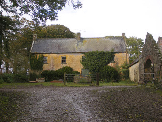 Dollas Housefarm house · 1699 yd
 Enclosure in KilmoreEnclosure · 1.0 mi
 CastleCastle, unclassified · 1.9 mi
 European ashEuropean ash · 2.2 mi
 Dysert AenghusaHeritage attraction · 2.6 mi
 Biodiversity in the Maigue CatchmentVisitor information · 2.6 mi
 Kinnoor WellSpring · 2.6 mi
 KnockfeerinaMountain / peak · 3.2 mi
 Famine stoneMemorial · 3.8 mi