What is recorded here
Prusselstown holds a hidden circular enclosure forty metres across on a gentle pasture slope. The ditch is gone, but the earth still shadows beneath the grass, marking a lost rath beside fields that may have fed it. A rectangular shadow appears in the next field, suggesting a larger settlement existed before the land was smoothed. The place is not empty; it is waiting to be seen through what the soil remembers.
On a gentle SW-facing pasture slope. Visible on an aerial photograph (CUCAP ASU 74 (1967)) as the cropmark of a fosse enclosing a roughly circular area (est. diam. c. 40m) together with the cropmarks of a possible field system (KD035-017002-) adjacent to SE. Possibly a levelled rath and associated field system. No visible surface trace survives. The cropmark of a possible rectangular enclosure (KD035-017003-) in the next field to the SW, is also visible on this aerial photo.
Compiled by: Gearóid Conroy
Date of upload: 28 November 2013
The monument record does not grant public access. Check the route and ask the landowner before entering private land.
- What survives
- Recorded monument
Places near here
 Enclosure in PrusselstownEnclosure · 154 yd
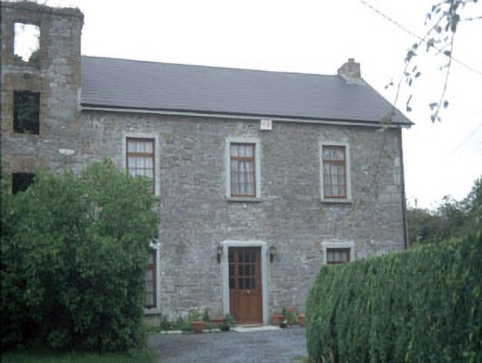 miller's housemiller's house · 723 yd
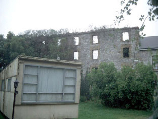 mill (water)mill (water) · 740 yd
 Athy War MemorialMemorial · 1246 yd
 Bawn in Townparks (athy West Urban Ed)Bawn · 1308 yd
 Woodstock CastleRuins · 1340 yd
 Zoltan Zinn-Collis memorialMemorial · 1517 yd
 Town HallMuseum · 1548 yd
 Enclosure in SawyerswoodEnclosure · 1583 yd
 Scots PineScots Pine · 1.4 mi
 European BeechEuropean Beech · 2.8 mi
 History of Moat of ArdscullVisitor information · 2.9 mi