What is recorded here
In tillage. Visible on Apple Maps as the cropmark of a fosse defining a sub-circular enclosure (estimated maximum diameter c. 80m). Associated linear cropmarks may be the remains of an ancient field system. (pers. comm. C. Chambers, 25-06-2015).
Compiled by: Gearóid Conroy
Date of upload: 21-12-2015
The monument record does not grant public access. Check the route and ask the landowner before entering private land.
- What survives
- Recorded monument
Places near here
 Enclosure in PrusselstownEnclosure · 430 yd
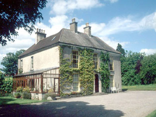 Shamrock Lodgehouse · 936 yd
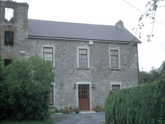 miller's housemiller's house · 981 yd
 Enclosure in SawyerswoodEnclosure · 1310 yd
 Athy War MemorialMemorial · 1515 yd
 Bawn in Townparks (athy West Urban Ed)Bawn · 1537 yd
 Woodstock CastleRuins · 1574 yd
 Zoltan Zinn-Collis memorialMemorial · 1.0 mi
 Town HallMuseum · 1.0 mi
 Scots PineScots Pine · 1.3 mi
 European BeechEuropean Beech · 2.7 mi
 History of Moat of ArdscullVisitor information · 2.7 mi