
What is recorded here
Enclosure in Prusselstown is a vanished rectangular fence line, twenty metres long and ten wide, hidden beneath a gentle Kildare pasture slope. No stone or ditch remains for hands to touch, yet the land still remembers the shape because crops grow differently above the buried fosse. A nearby rath and field marks suggest this was not a random boundary but a lived-in neighborhood, perhaps marking garden, shrine or household. The enclosure disappeared from human sight but refused to leave the earth entirely, waiting for rain, shadow and patience to reveal its outline again.
On a gentle SW-facing pasture slope. Visible on an aerial photograph (CUCAP ASU 74 (1967)) as the cropmark of a fosse enclosing a rectangular area (est. c. 20m NE-SW; c. 10m NW-SE). No visible surface trace survives. The photograph also shows the cropmarks of a possible rath and associated field system in the next field to the NE.
Compiled by: Gearóid Conroy
Date of upload: 28 November 2013
The monument record does not grant public access. Check the route and ask the landowner before entering private land.
- What survives
- Recorded monument
Places near here
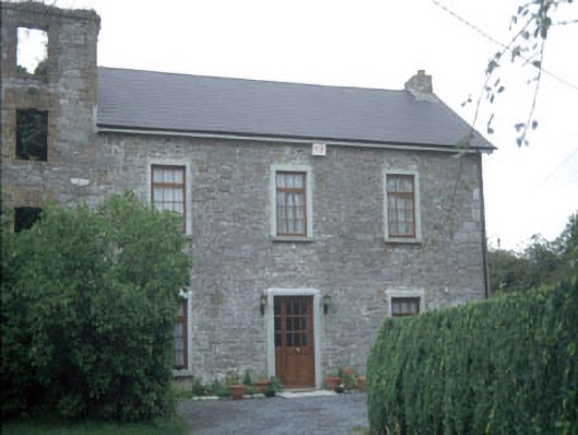 miller's housemiller's house · 582 yd
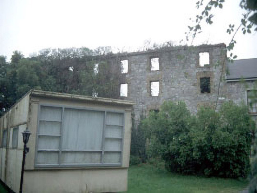 mill (water)mill (water) · 600 yd
 Athy War MemorialMemorial · 1100 yd
 Bawn in Townparks (athy West Urban Ed)Bawn · 1182 yd
 Woodstock CastleRuins · 1211 yd
 Zoltan Zinn-Collis memorialMemorial · 1369 yd
 Town HallMuseum · 1394 yd
 Enclosure in SawyerswoodEnclosure · 1734 yd
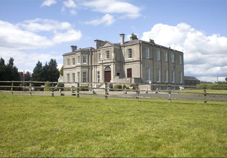 Enclosure in Cardington DemesneEnclosure · 1.1 mi
 Scots PineScots Pine · 1.4 mi
 Inch WoodForest · 2.9 mi
 History of Moat of ArdscullVisitor information · 2.9 mi
Other information
Photo: Credit not shown in the picture search · Rights wording not checked; contact us if this picture should be removed