
What is recorded here
Thirty metres of cliff, fifty-two metres of stone, and a flat rectangular heart raised above the rest. The fort leans against the edge of County Meath like a hand gripping the land, its western gap left open for whoever needed to leave before the sea or sky changed their mind.
The following description is derived from the published 'Archaeological Inventory of County Meath' (Dublin: Stationery Office, 1987). In certain instances the entries have been revised and updated in the light of recent research.
Date of upload/revision: 10 July 2007
Semicircular area, backing onto cliff c. 30m high, defined by scarp (diam. 52m NE-SW). Raised rectangular area (dims. 24m NNW-SSE, 19m ENE-WSW ) defined by scarp, in centre. Entrance may have been at WSW.
The monument record does not grant public access. Check the route and ask the landowner before entering private land.
- What survives
- Recorded monument
Places near here
 Carrickdexter WoodWood · 89 yd
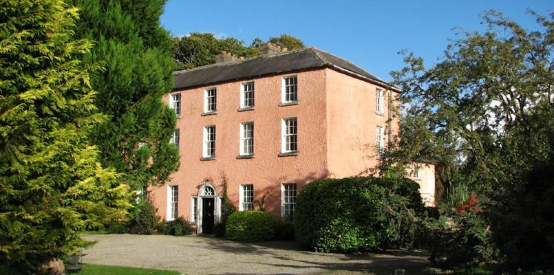
 Beau Parccountry house · 323 yd
 Church in CarrickdexterChurch · 388 yd
 Rock WoodWood · 577 yd
 Enclosure in DollardstownEnclosure · 846 yd
 Baronstown CrossCross, Wayside cross · 984 yd
 CastleCastle, motte · 1555 yd
 Slane CastleCastle, unclassified · 1.2 mi
 RiverviewMemorial · 1.6 mi
 Pat's Art StudioGallery · 1.7 mi
 KnowthArchaeological place · 3.5 mi
 Carn HillMountain / peak · 3.6 mi
Other information
Photo: Credit not shown in the picture search · Rights wording not checked; contact us if this picture should be removed