
What is recorded here
Pollmounty Castle was a rectangular tower house destroyed by gunpowder, leaving massive granite walls scattered twenty feet from their foundations. The violent explosion ripped through mortar so strong that even small stones resist detachment, proving the fortress faced sudden, brutal force rather than slow decay. Three broken stair treads still rise northward inside the surviving wall, inviting imagination about the people who climbed them before the castle vanished into woodland and forgotten farm boundaries.
Located 100m N of the Pollmounty River and c. 20m W of a small stream, at the upper edge of the steep scarp descending to the river. The remains are densely overgrown and stand at the S edge of an abandoned farmstead, incorporated into the field boundary system. The area is wooded. According to Comerford (1886, 317), ‘The remains of the Castle of Polmonty, which are but little, shew it to have been a rectangular fortress: it evidently was destroyed by powder, as portions of the walls, measuring 5½ feet [1.65m] in thickness, lie in large masses at a considerable distance from the site of the building; one huge piece, of several tons weight, is 20 feet [6m] from its former position; the mortar of it is so good that the smallest stone could not be detached without considerable force being used. The only portion of the wall now standing shows the remains of a stone stairway’. Built of roughly coursed granite rubble, with split pinning stones laid in mortar, only a length (7m) of the NW wall (Wth 0.9m) and probable attached section of the NE wall survive, to a maximum height of c. 2m. The wall rests on a low plinth (H c. 0.2m) which projects out by c. 0.1m. Internally on the NW wall 3 broken treads of a stair survive, rising to the N. Immediately outside the wall, to the SSW, where it merges with a field wall, lies a large rebated and chamfered jambstone (L 1.2m; Wth 0.5-0.59m tapering towards the top; T 0.4m) from a doorway.
Compiled by: Jean Farrelly
Date of upload: 6 December 2016
This remains an important historical record, but the official description says the monument is no longer visible or has been destroyed. The monument record does not grant public access. Check the route and ask the landowner before entering private land.
- What survives
- No visible remains or recorded as destroyed
Places near here
 Silver WattleSilver Wattle · 621 yd
 IndicatedHilltop enclosure · 1022 yd
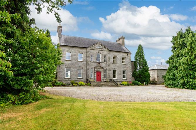 Enclosure in BallynalourEnclosure · 1207 yd
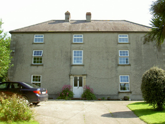 farm housefarm house · 1.0 mi
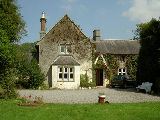 Ballywilliam Housefarm house · 1.4 mi
 Castle (Site of)Castle, unclassified · 1.4 mi
 Site of Warrens CastleCastle, unclassified · 1.4 mi
 1798 RebellionMemorial · 1.6 mi
 CarrigvahanaghMountain / peak · 1.7 mi
 Graveyard in St. Mullin'sGraveyard · 2.2 mi
 The Kiln FieldWood · 2.6 mi
 The SpoutSpring · 2.7 mi
Other information
Photo: Credit not shown · Copyright shown; no reuse licence shown