
What is recorded here
Cairn stands on a mountain top in County Offaly, marking the border with Laois through a circular tower of overlapping stones built during the nineteenth century. Surveyors raised it as a trigonometrical station, yet the view stretches unbroken in every direction, inviting people to climb, breathe and belong somewhere visible. The boundary line continues north and south in smaller stone piles, suggesting that even arbitrary limits become sacred when repeated across land.
Situated on top of a mountain with good views in all directions. Irregular shaped stone cairn consisting of a circular tower built of overlapping stones which appears to have been constructed in the 19th century as a county boundary marker by the OS. This monument marks the border between Offaly and Laois and is used as a Trigonometrical station to mark a bench mark. Piles of stones resembling small cairns to the N and S also mark the line of the county boundary.
The above description is derived from the published 'Archaeological Inventory of County Offaly' (Dublin: Stationery Office, 1997). In certain instances the entries have been revised and updated in the light of recent research.
Date of upload: 23 May 2011
The monument record does not grant public access. Check the route and ask the landowner before entering private land.
- What survives
- Recorded monument
Places near here
 FarbreagueMountain / peak · 261 yd
 PileCairn, boundary cairn · 424 yd
 CairnCairn, unclassified · 541 yd
 Tulla Castle (site of)Archaeological place · 1.9 mi
 Site of Tulla CastleCastle, unclassified · 1.9 mi
 ArderinMountain / peak · 2.0 mi
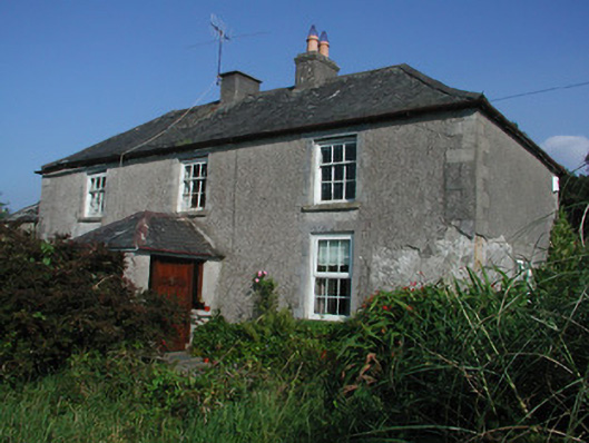 Tulla Housefarm house · 2.0 mi
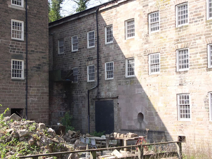 MillMill, unclassified · 2.4 mi
 Kinnitty ForestForest · 3.6 mi
 Saint Dominick's WellSpring · 3.6 mi
 Grange WoodWood · 4.1 mi
 Leap CastleCastle · 4.6 mi
Other information
Photo: Credit not shown in the picture search · Rights wording not checked; contact us if this picture should be removed