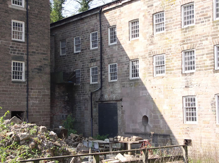
What is recorded here
Wet marshy area to the E of Roscomroe church (OF039-055) and graveyard (OF039-055001-) may be the remains of a possible millpond. No location or place name evidence for the location of its associated mill (OF039-055005-). Presence of conglomerate millstone in the graveyard now reused as a grave-marker may have been associated with the early mill, and supports the possible evidence for a mill near this church and graveyard. Described by Feehan as 'An uncertain tradition suggests that the monastery at Roscomroe survived until Cromwellian times; a place is pointed out north-east of the graveyard, the site of the monastery mill-pond in fact, where the fleeing abbot was taken and killed by Cromwellian soldiers, though not before he had thrown the monastic treasures into the muddy pond, where they may yet remain' (Feehan 1979, 140).
Compiled by: Caimin O'Brien.
Date of upload: 23 May 2011
The monument record does not grant public access. Check the route and ask the landowner before entering private land.
- What survives
- Recorded monument
Places near here
 Church in Ruins, GlebeChurch · 110 yd
 Enclosure in Newtown (ballybrit By.)Enclosure · 759 yd
 Court in RuinsHouse, fortified house · 1.1 mi
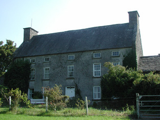 Knockarley Housefarm house · 1.4 mi
 Drummin HillMountain / peak · 1.7 mi
 Ballybritt CastleCastle, tower house · 1.8 mi
 Grange WoodWood · 2.0 mi
 Leap CastleCastle · 2.3 mi
 FarbreagueMountain / peak · 2.3 mi
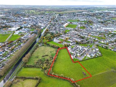 Ballywilliam WoodWood · 2.5 mi
 Saint Kieran's WellSpring · 2.9 mi
Other information
Photo: Credit not shown in the picture search · Rights wording not checked; contact us if this picture should be removed