
What is recorded here
Late medieval rectangular church ( ext. dims. 18.6m E-W; 7.8m N-S; wall T 0.8m) built from roughly coursed shale with holy well (OF039-055002-) to the SE. All that survives is the W gable with destroyed window and bellcote, the W end of the N and S walls with wall footings surviving elsewhere. The only other architectural feature evident is the splay of a destroyed doorway at the W end of the S wall.
Situated on a slight rise of ground W of a tributary of the Camcor River.Traditionally cited as an Early Christian foundation attributed to St Molua and to whom a nearby holy well (OF039-055002-) is dedicated. Present remains comprise a late medieval rectangular church (ext. dims. approx. 18.6m E-W x 7.8m N-S; wall T 0.8m) constructed of roughly coursed shale, standing within an irregularly shaped graveyard enclosed by a stone wall. The W gable with partial remains of a bellcote and a breach indicating the former presence of a window, together with the W ends of both the N and S walls, survive to full height. Elsewhere no more than wall-footings remain. Romanesque fragments of a tweflth century church window or doorway surround suggest that the upstanding building may date from the mid to late twelfth century. Late medieval limestone fragments of a possible window or doorway suggest that the church was modified in the late medieval period. The splay of a possible doorway or window is visible at the W end of the S wall. Described in 1556 in the Fiants of the Tudor Sovereigns as 'the rectory of Rosconroghe' (Feehan 1979, 140). In 1830, stone was taken from this church to construct the Roman Catholic church of Roscomroe, this church may contain architectural fragments and fabric of medieval date that are now obscured by the rendered walls of the 19th century church.
The above description is derived from the published 'Archaeological Inventory of County Offaly' (Dublin: Stationery Office, 1997). In certain instances the entries have been revised and updated in the light of recent research.
Date of upload: 23 May 2011
The monument record does not grant public access. Check the route and ask the landowner before entering private land.
- What survives
- Recorded monument
Places near here
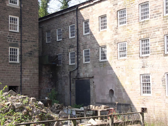 MillMill, unclassified · 110 yd
 Enclosure in Newtown (ballybrit By.)Enclosure · 868 yd
 Court in RuinsHouse, fortified house · 1.2 mi
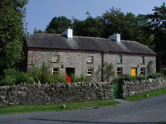 Teach Colleenworker's house · 1.4 mi
 Drummin HillMountain / peak · 1.7 mi
 Ballybritt CastleCastle, tower house · 1.7 mi
 Grange WoodWood · 2.0 mi
 Leap CastleCastle · 2.2 mi
 FarbreagueMountain / peak · 2.4 mi
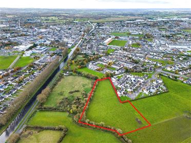 Ballywilliam WoodWood · 2.5 mi
 Saint Kieran's WellSpring · 2.9 mi
Other information
Photo: Credit not shown in the picture search · Rights wording not checked; contact us if this picture should be removed