What is recorded here
Situated just below the top of a low rise of ground with good views in all directions are the possible poorly preserved remains of a possible hut site. The monument consists of a small D-shaped or roughly square-shaped chamber (int. dims. 5.9m N-S; 6.1m N-S) defined by an earth and stone bank (H 0.2m-0.5m; top Wth 1.2m; base Wth 1.7m) which appears to be the grass covered wall footings of a dry stone wall. There is evidence of internal and external revetment in the form of low upright orthostats which form the enclosing wall of the hut site. The interior of the hut site is slightly sunken beneath the surface of the ground and there is no clear evidence of an entrance feature. This is one of a cluster of 4 closely related monuments located on a hilltop with good views in all directions. One of a group of 4 monuments (DG097A013/014/015-) which are located close to each other. All of these hut sites appear to be situated within an extensive field system, a field wall of this field system can be seen 30m to the W of this hut site. A cashel with two hut sites (DG097A012001/002/003-) are located 45m to the N.
Compiled by: Caimin O'Brien
Date of Upload/Revision: 02 May 2010
The monument record does not grant public access. Check the route and ask the landowner before entering private land.
- What survives
- Recorded monument
Places near here
 St John's Point Stone RingfortFairy fort / stone ringfort · 53 yd
 St John's Point Quarry-Side EnclosureEnclosure · 108 yd
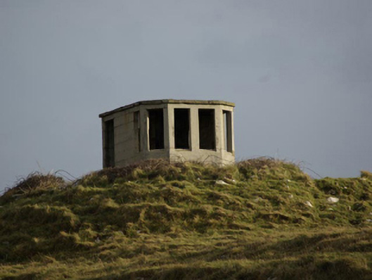 watch tower, signal towerwatch tower, signal tower · 532 yd
 Saint John's PointLighthouse · 909 yd
 Rabley HillMountain / peak · 1407 yd
 Drumanoo HeadHeadland · 2.6 mi
 Carntullagh HeadHeadland · 2.9 mi
 Rotten IslandIslet · 2.9 mi
 Cat CastleCastle, tower house · 3.8 mi
 Bawn in KillybegsBawn · 4.1 mi
 European BeechEuropean Beech · 4.5 mi
 FintraOfficial bathing water · 4.6 mi