What is recorded here
Originally recorded as a brushwood platform (exposed L 3m; Wth 2m) that was visible on the field surface for a short distance immediately WNW of a drain. The majority of the brushwood extended longitudinally in a NNW-SSE direction, with a small number of upper transverse elements running at right angles to it. On the ENE side, and possibly under the brushwood, twigs were present, the largest of which had a similar longitudinal orientation. Approximately half of the width of the remains were exposed for examination and contained c. 30 longitudinal pieces of brushwood (Dunne 1999, 39, 99DBSE036A). Excavation in 2001 revealed that this was a platform composed of mostly longitudinal brushwood (diam. 0.02-0.04m) with occasional transverse brushwood and a small number of pegs. It dated to the Iron Age (198-180 BC) and overlay a Bronze Age togher (LF022-064015-) (Whitaker 2009, 45).
Compiled by: Mary Tunney based on data supplied by Jane Whitaker, Archaeological Development Services.
Date of upload: 26 August 2011
The monument record does not grant public access. Check the route and ask the landowner before entering private land.
- What survives
- Recorded monument
Places near here
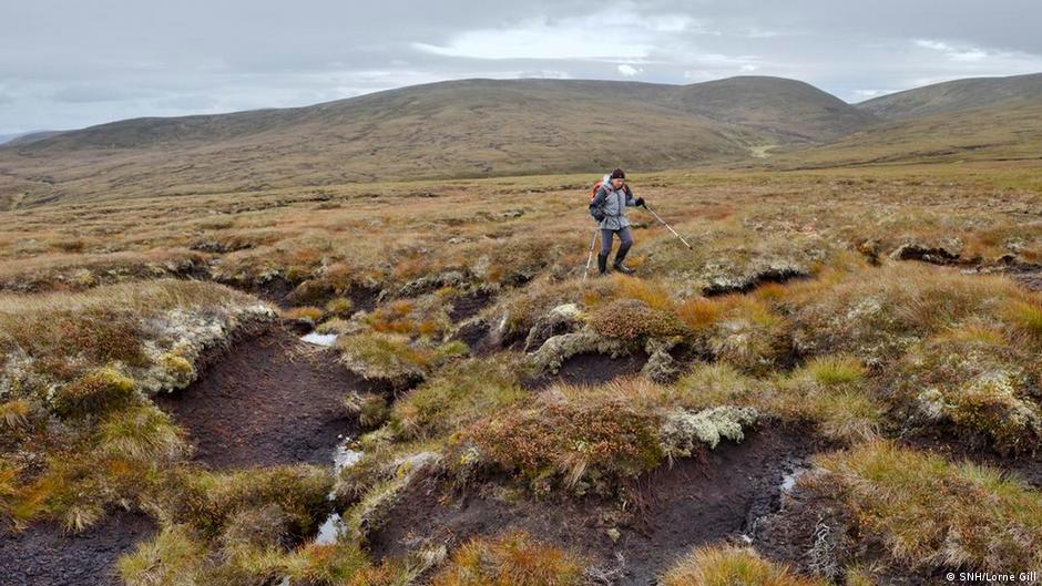 PlatformPlatform, peatland · 174 yd
 StructureStructure, peatland · 266 yd
 RoadRoad, class 2 togher · 299 yd
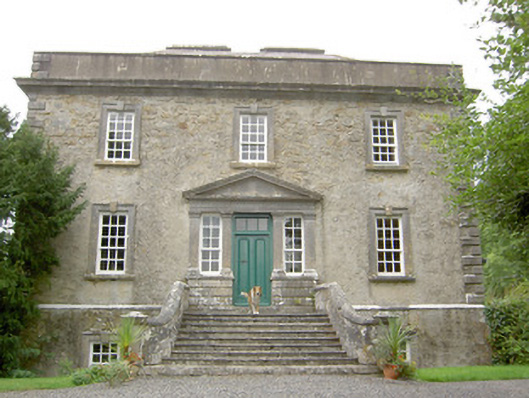 Ledwithstown Househouse · 1.5 mi
 Corlea Trackway Interpretative CentreHeritage attraction · 1.8 mi
 Corlea Bog Walk Blue LoopWalking route · 1.9 mi
 Corlea Bog Walk Canal BranchWalking route · 1.9 mi
 Caltragh CastleCastle, unclassified · 2.9 mi
 CastleBawn · 3.5 mi
 Leveret IslandIslet · 3.5 mi
 Culnagore WoodForest · 3.8 mi
 Bush IslandIslet · 3.9 mi