What is recorded here
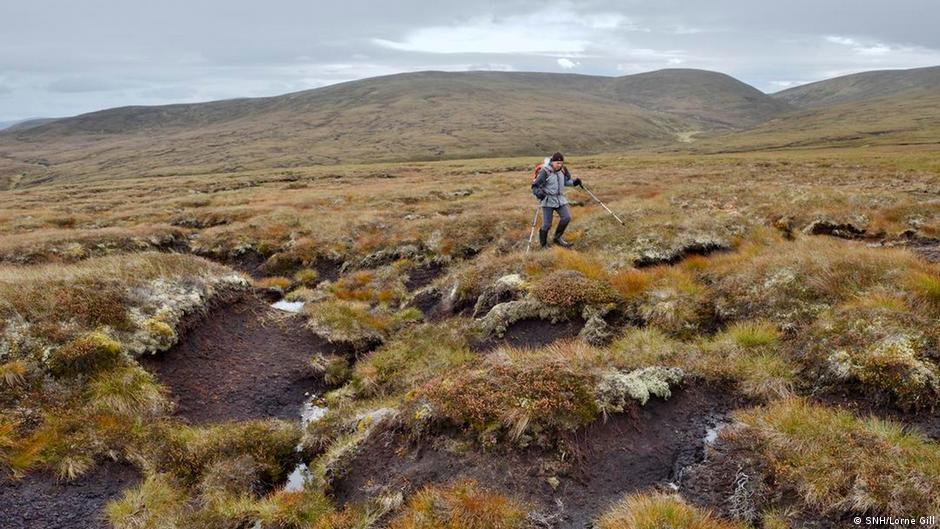
A small platform (exposed L 2.9m; Wth 0.8m) noted on the field surface immediately WNW of a drain was being milled. Remains consisted of more than 50 pieces of brushwood (diam. 0.02-0.04m), the majority of which were aligned NNE-SSW, and at least four transverse pieces. Though not as structured as a normal hurdle, the brushwood did appear to have been woven. One piece showed evidence of woodworking. Some remains were visible in the opposite ESE drain face but were too degraded to excavate. (Dunne 1999, 28, 99DBSE0002A)
Compiled by: Mary Tunney based on data supplied by Jane Whitaker, Archaeological Development Services.
Date of upload: 26 August 2011
The monument record does not grant public access. Check the route and ask the landowner before entering private land.
- What survives
- Recorded monument
Places near here
 RoadRoad, class 2 togher · 127 yd
 StructureStructure, peatland · 209 yd
 Fulacht fia in DerryloughFulacht fia · 809 yd
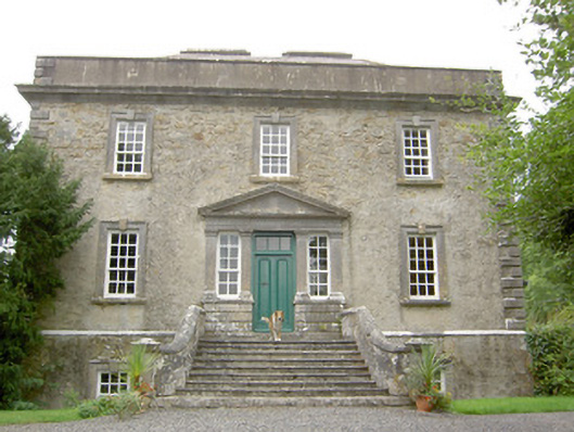 Ledwithstown Househouse · 1.6 mi
 Corlea Trackway Interpretative CentreHeritage attraction · 1.9 mi
 Corlea Bog Walk Blue LoopWalking route · 1.9 mi
 Corlea Bog Walk Canal BranchWalking route · 2.0 mi
 Caltragh CastleCastle, unclassified · 2.8 mi
 CastleBawn · 3.4 mi
 Leveret IslandIslet · 3.5 mi
 Culnagore WoodForest · 3.7 mi
 Bush IslandIslet · 3.8 mi
Other information
Photo: Credit not shown in the picture search · Rights wording not checked; contact us if this picture should be removed