What is recorded here
Half a metre of stone still marks an oval chamber on the south slope of Piperstown Hill, facing northwest to southeast like a cupped hand. Inside that small ring, someone may have sat with firelight, tools or memory during the Late Neolithic or Early Bronze Age. The chamber is modest, but it preserves the shape of human attention: a place large enough to enter, guard and occupy.
Situated on the S slopes of Piperstown Hill. A habitation site known as Site A. ‘Site A: An oval ring of stones. It measures about 5.50 m. by 4.50 m. internally, with its long axis orientated NW-SE. The wall averages about 75 cm. in width and is about 20 cm. in height. There is a large agglomeration of stones in the wall at the north-east and a slight bank of peat with the stones in the north-west. The entrance appears to be either in the south-east or, possibly, in the south-west. There is a scatter of stones outside the wall north of the probable entrance in the south-east but it does not appear to be significant’ (Rynne and Ó hEailidhe 1965, 63). This is part of an extensive settlement and cemetery of Late Neolithic/Early Bronze Age date.
Compiled by: Paul Walsh and Padraig Clancy
Revised upload on: 8 July 2018
The monument record does not grant public access. Check the route and ask the landowner before entering private land.
- What survives
- Recorded monument
Places near here
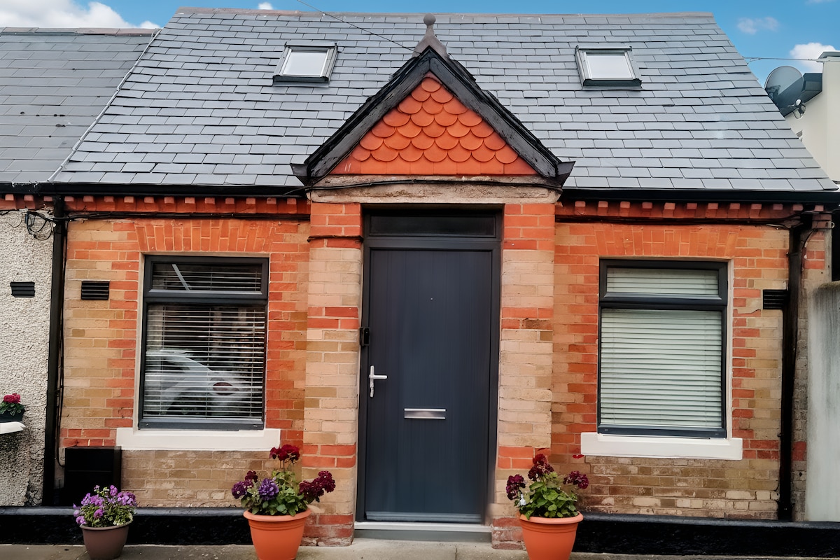 Habitation site in PiperstownHabitation site · 45 yd
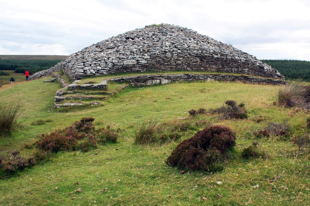 CairnCairn, burial cairn · 56 yd
 Ice HousesRuins · 351 yd
 SpinkeenMountain / peak · 542 yd
 Featherbed ForestForest · 762 yd
 Saint Ann's WellSpring · 875 yd
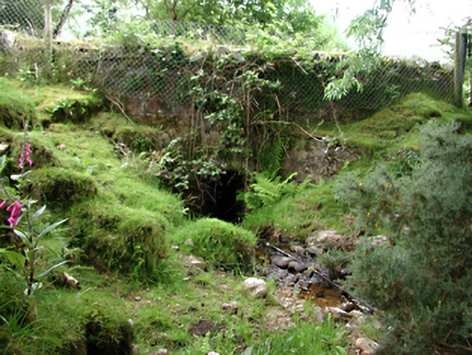 bridgebridge · 883 yd
 Saint Ann's GraveyardRuins · 1060 yd
 Dublin Mountains Way - Hellfire & Massey spurWalking route · 1470 yd
 Dublin Mountains Way Hellfire & Massey SpurWalking route · 1615 yd
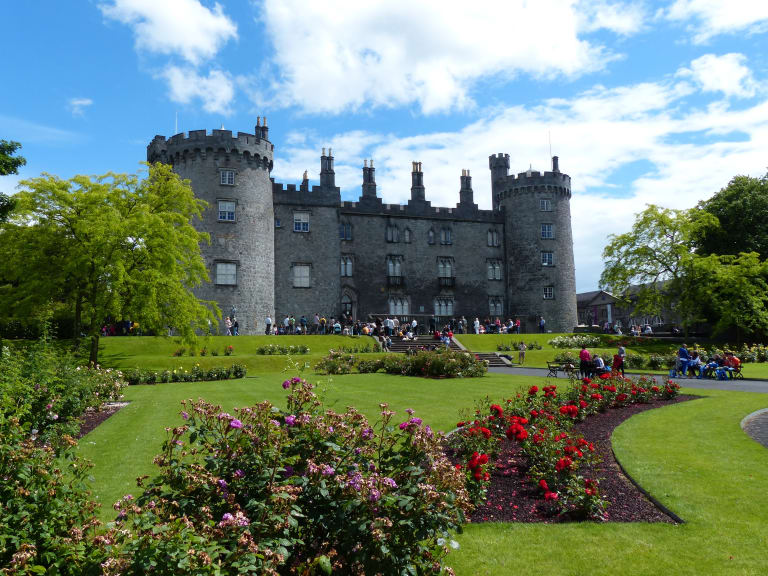 CastleCastle, unclassified · 1619 yd
 Hellfire WoodForest · 1.1 mi