What is recorded here
On the southern slopes of Piperstown Hill, a circular stone ring with a southeast entrance marks a Late Neolithic or Early Bronze Age home. Peat and rushes still choke its northern half, hiding whatever shape remains beneath the green. The visible wall stands sixty centimetres wide and twenty centimetres high, small enough for one person to judge by touch yet old enough to have watched several generations pass.
Situated on the S slopes of Piperstown Hill. A habitation site known as Site N. ‘Site N: A roughly circular ring of stones. It averages about 5 m. in internal diameter and has a well-defined entrance at the S-E. The northern portion of this site is still largely covered by peat and is overgrown with rushes, concealing any structure which may exist there. The wall varies in width and height, averaging about 60 cm. and 20 cm. respectively. There is a slight bank of peat with the stones in the western portion’ (Rynne and Ó hEailidhe 1965, 75). This is part of an extensive settlement and cemetery of Late Neolithic/Early Bronze Age date .
Compiled by: Paul Walsh and Padraig Clancy
Revised upload on: 8 July 2018
The monument record does not grant public access. Check the route and ask the landowner before entering private land.
- What survives
- Recorded monument
Places near here
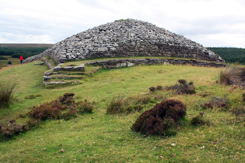 CairnCairn, burial cairn · 15 yd
 Habitation site in PiperstownHabitation site · 25 yd
 Ice HousesRuins · 299 yd
 SpinkeenMountain / peak · 473 yd
 Featherbed ForestForest · 790 yd
 Saint Ann's WellSpring · 868 yd
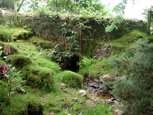 bridgebridge · 931 yd
 Saint Ann's GraveyardRuins · 1062 yd
 Dublin Mountains Way - Hellfire & Massey spurWalking route · 1444 yd
 Dublin Mountains Way Hellfire & Massey SpurWalking route · 1592 yd
 CastleCastle, unclassified · 1670 yd
 Hellfire WoodForest · 1.0 mi