What is recorded here
Clear water flows through a narrow gap in the rocks, feeding a basins where people drank and washed. The chamber is a cave mouth, roofed and shadowed, with a door that opens onto the rock face. The chamber is a cave mouth, roofed and shadowed, with a door that opens onto the rock face.
Situated on the S slopes of Piperstown Hill. A cairn known as Site C. ‘Site C: A roughly circular cairn of stones. It averages about 5-50 m. in overall diameter and is about 40 cm. in maximum height. The tops of large, vertically set stones can be seen in the southern half of the cairn and are probably kerbstones. Somewhat similar stones are visible in the north-eastern quarter, but these are less obvious kerbstones. The internal diameter of the kerb would be about 3.50m’ (Rynne and Ó hEailidhe 1965, 63-4). This was considered by Rynne and Ó hÉailidhe (1965, 79) to be a possible burial cairn. This is part of an extensive settlement and cemetery of Late Neolithic/Early Bronze Age date .
Compiled by: Paul Walsh and Padraig Clancy
Revised upload on: 8 July 2018
The monument record does not grant public access. Check the route and ask the landowner before entering private land.
- What survives
- Recorded monument
Places near here
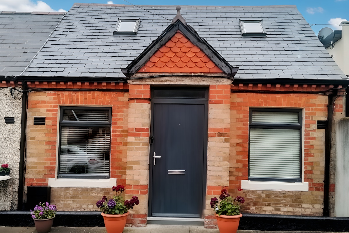 Habitation site in PiperstownHabitation site · 4 yd
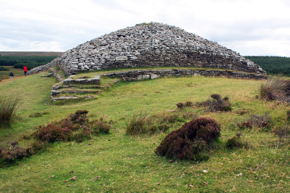 CairnCairn, burial cairn · 11 yd
 Ice HousesRuins · 311 yd
 SpinkeenMountain / peak · 498 yd
 Featherbed ForestForest · 773 yd
 Saint Ann's WellSpring · 877 yd
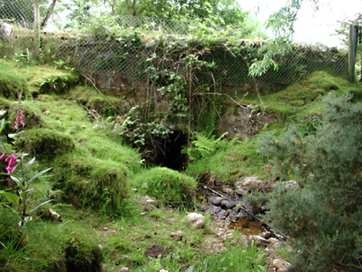 bridgebridge · 919 yd
 Saint Ann's GraveyardRuins · 1068 yd
 Dublin Mountains Way - Hellfire & Massey spurWalking route · 1446 yd
 Dublin Mountains Way Hellfire & Massey SpurWalking route · 1593 yd
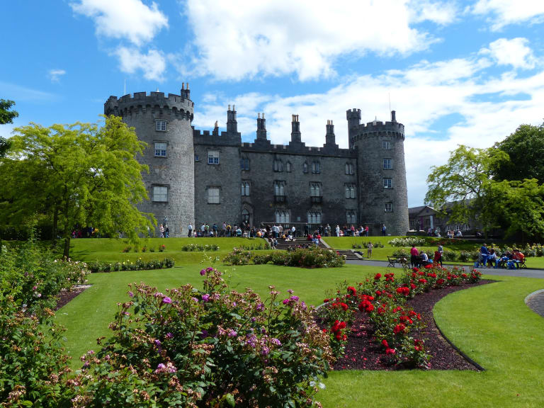 CastleCastle, unclassified · 1657 yd
 Hellfire WoodForest · 1.0 mi