What is recorded here
The site is located on a s facing slope, it the landscaped environment of Dun Laoghaire Golf Club. This enclosure is shown on the 1843 OS 6-inch map as an oval enclosure planted with trees (L 32m; Wth c. 24m). The enclosure was still upstanding in 1972 but there is no longer a trace of the site.
Compiled by: Geraldine Stout and Padraig Clancy.
Revised upload on: 21 April 2018.
The monument record does not grant public access. Check the route and ask the landowner before entering private land.
- What survives
- Recorded monument
Places near here
 Phrompstown Housefarm house · 479 yd
 Enclosure in BallymanEnclosure · 575 yd
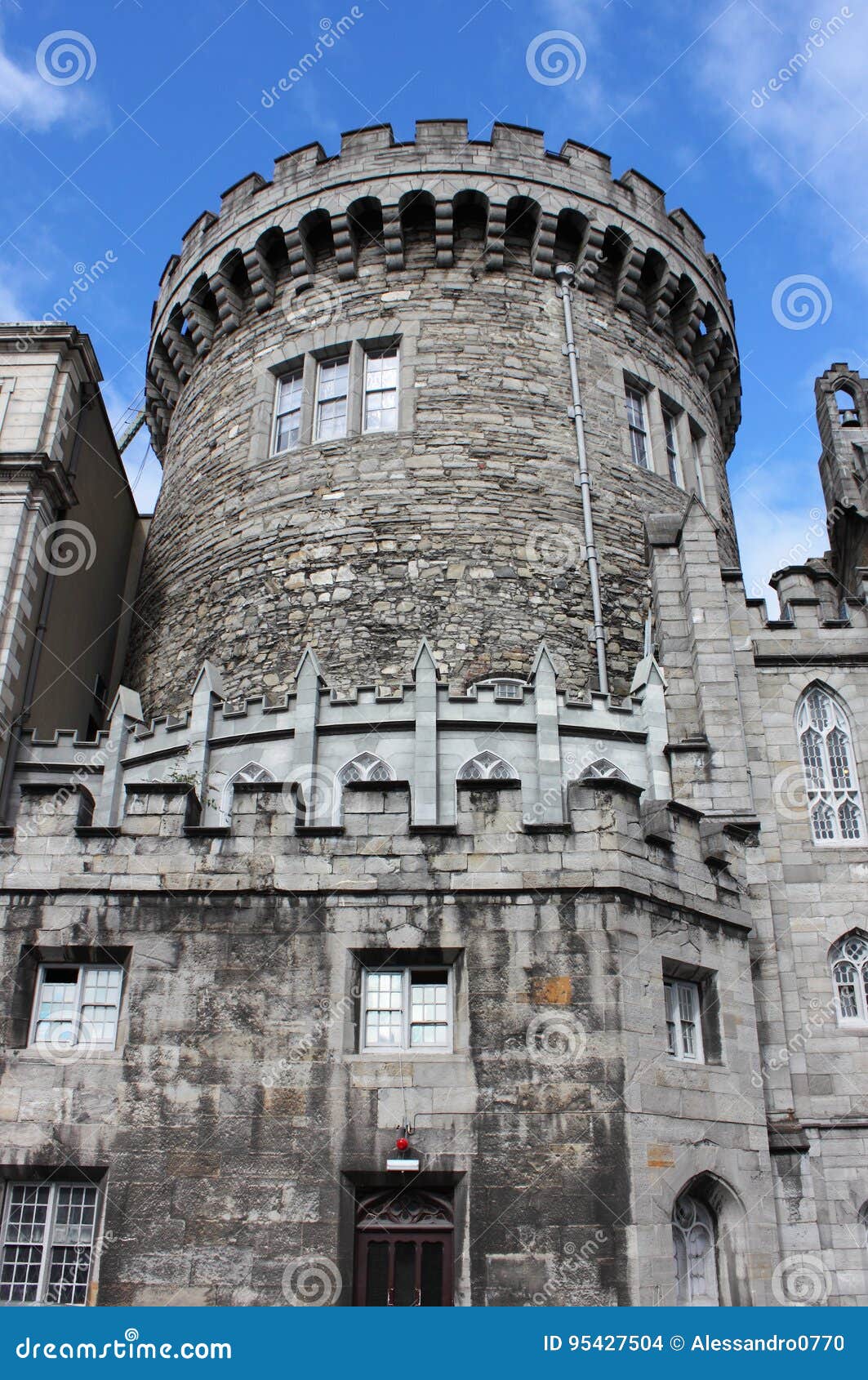 CastleCastle, tower house · 771 yd
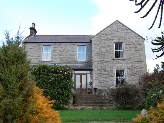 Scalp Farmfarm house · 811 yd
 Enclosure in AnnaghaskinEnclosure · 816 yd
 Carrickgollogan HillMountain / peak · 1020 yd
 Graveyard in BallymanGraveyard · 1112 yd
 Barnaslingan - Pine loop trailWalking route · 1540 yd
 Barnaslingan HillMountain / peak · 1659 yd
 Barnaslingan - Scalp Lookout TrailWalking route · 1667 yd
 The Bog MeadowWood · 1682 yd
 Ballycorus castle Site ofCastle, tower house · 1.3 mi