What is recorded here
In pasture immediately N of the townland boundary with Scoul. Possible enclosure (LI039-087----) lies 180m to SE. Indicated as a semi-circular feature but not as an antiquity on 1840 ed. OSi 6-inch map. Shown on the 1897 ed. OSi 25-inch map as a semi-circular shaped area (dims. c. 13m N-S; 17m E-W) enclosed by a bank with outer fosse transected at S by townland boundary running E-W. A disused gravel pit is depicted 200m to W. Surveyed by the ASI in 1996 when a faint cropmark was the only visible remains recorded. According to landowner earthwork was levelled 10-15 years ago, c. 1980 (SMR File). No surface remains visible on OSi orthophoto taken between 2005-12 or on Google Earth orthoimage dated 14/09/2019.
See attached Google Earth orthoimages
Compiled by: Martin Fitzpatrick
Date of upload: 29 April 2021
The monument record does not grant public access. Check the route and ask the landowner before entering private land.
- What survives
- Recorded monument
Places near here
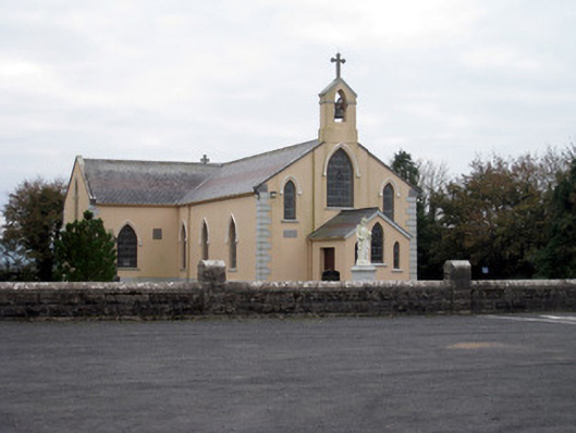 Catholic Church of the Holy Trinitychurch/chapel · 648 yd
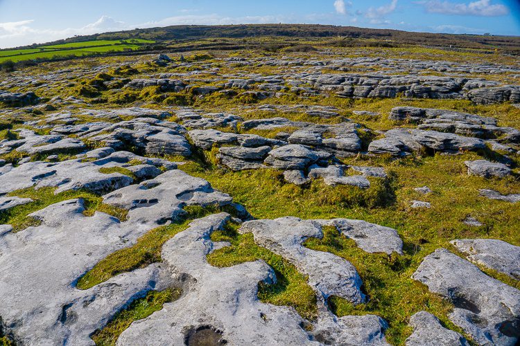 BarrowBarrow, unclassified · 732 yd
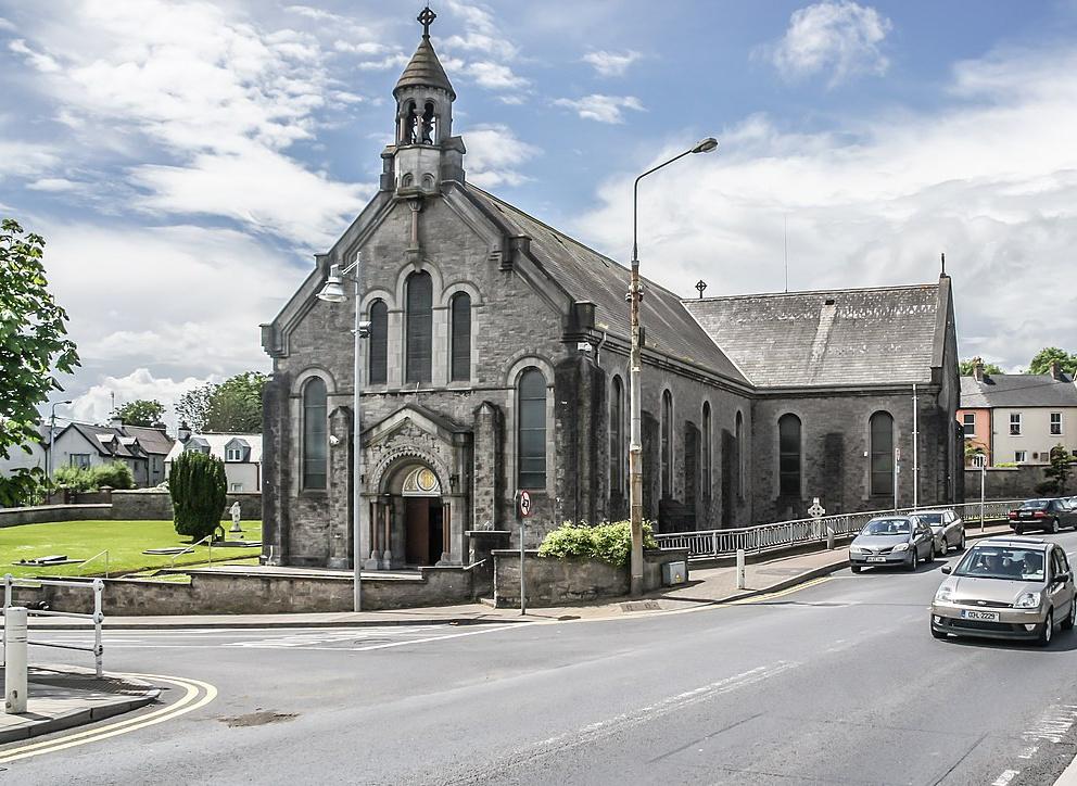 Dromin Church (in ruins)Church · 1417 yd
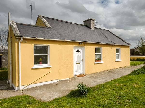 Enclosure in CottageEnclosure · 1550 yd
 Bawn in MaidstownBawn · 1.5 mi
 Bulgaden Castle (in ruins)Castle, tower house · 2.3 mi
 King John's CastleCastle · 2.5 mi
 St Bridget's WellSpring · 4.2 mi
 Glen BogForest · 4.8 mi
 KnockainyMountain / peak · 5.1 mi
 Flat cemetery in Knockainy WestFlat cemetery · 5.6 mi
 Ballinvreena LoopVisitor information · 6.7 mi