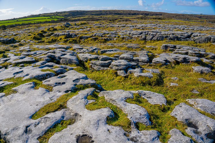
What is recorded here
In wet pasture immediately N of stream which marks the townland boundary with Cloonygarra. Not depicted on OSi historic maps. Identified by Bruff aerial photographic survey in 1986 (Bruff 26; AP 5/2112) as an enclosure. Surveyed by the ASI in 1996 and described as a raised roughly circular-shaped area (diam. 18m) enclosed by a low bank (Wth 3.2m; H 0.25m) from NE-SW reduced to a scarp elsewhere. The interior rises to NE where there is a sub-circular shaped mound (diam. 4m) with a shallow depression (Wth 1.05m; D 0.2m) in the centre. The outline of the monument is visible as a raised circular-shaped platform on OSi orthophotos taken between 2005-2012. Visible as a faint cropmark of a circular-shaped area defined by a fosse on Google Earth orthoimages.
See attached ASI sketch plan of monument, Bruff aerial photograph (Bruff 26) and Google Earth orthoimages.
Compiled by: Martin Fitzpatrick
Date of upload: 10 May 2021
The monument record does not grant public access. Check the route and ask the landowner before entering private land.
- What survives
- Recorded monument
Places near here
 BarrowBarrow, unclassified · 449 yd
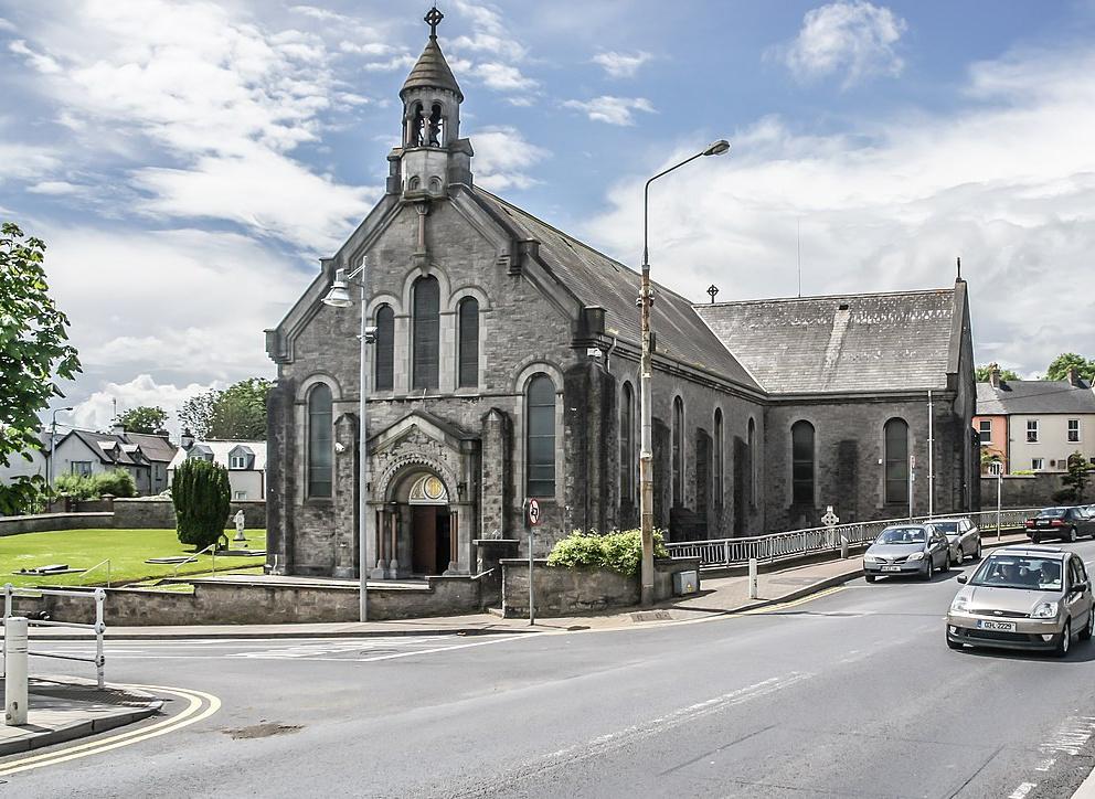 Dromin Church (in ruins)Church · 946 yd
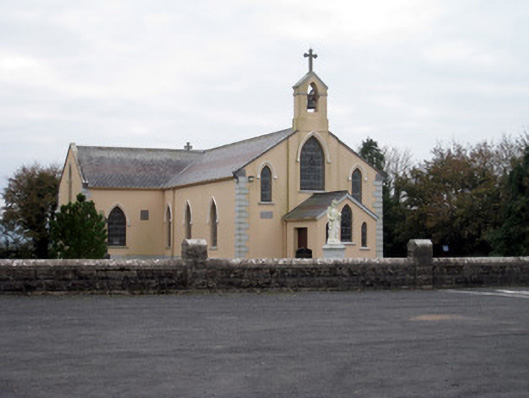 Catholic Church of the Holy Trinitychurch/chapel · 1023 yd
 Lisheen, hachuredFairy fort / earthen ringfort · 1549 yd
 Bawn in MaidstownBawn · 1.3 mi
 Bawn in Ballycullane (kilmallock By.)Bawn · 2.0 mi
 King John's CastleCastle · 2.2 mi
 St Bridget's WellSpring · 4.0 mi
 Lady's WellSpring · 5.1 mi
 Glen BogForest · 5.2 mi
 KnockainyMountain / peak · 5.5 mi
 Flat cemetery in Knockainy WestFlat cemetery · 6.0 mi
Other information
Photo: Credit not shown in the picture search · Rights wording not checked; contact us if this picture should be removed