What is recorded here
Located on high ground with good views. Irregular shaped flat topped mound (H 2m; diam 15m E-W) which is badly damaged on all sides with an enclosing bailey type area to the E, S and W which is defined by a low earthen bank (Wth 1m; H 0.6m). Field boundaries intercept the site on its N side where there is possible evidence of a fosse enclosing the base of the mound. Overall the site has undergone much damage making interpretation difficult. The form, size and location of the mound has the appearance of a truncated motte but could just as easily be the remains of a prehistoric burial mound.
The above description is derived from the published 'Archaeological Inventory of County Offaly' (Dublin: Stationery Office, 1997). In certain instances the entries have been revised and updated in the light of recent research.
Date of upload: 23 May 2011
The monument record does not grant public access. Check the route and ask the landowner before entering private land.
- What survives
- Recorded monument
Places near here
 Ballynacarrig Br.Bridge · 788 yd
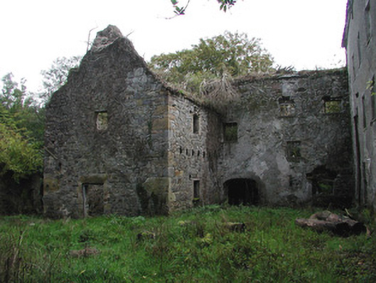 Ballinacarrig Millsmiller's house, mill (water) · 791 yd
 Enclosure in BallynacarrigEnclosure · 1094 yd
 Enclosure in BallindrinnanEnclosure · 1209 yd
 Knockhill GroveWood · 1745 yd
 MoatCastle, motte and bailey · 1.1 mi
 Graveyard in Ballyboy (ballyboy By.)Graveyard · 1.2 mi
 Rathlihen Castle (ruins)Castle · 2.3 mi
 Church (in Ruins), Graveyard, CarrigeenChurch · 2.6 mi
 Arthur's WellSpring · 2.6 mi
 Troy's Island or DerryheeraghMountain / peak · 2.7 mi
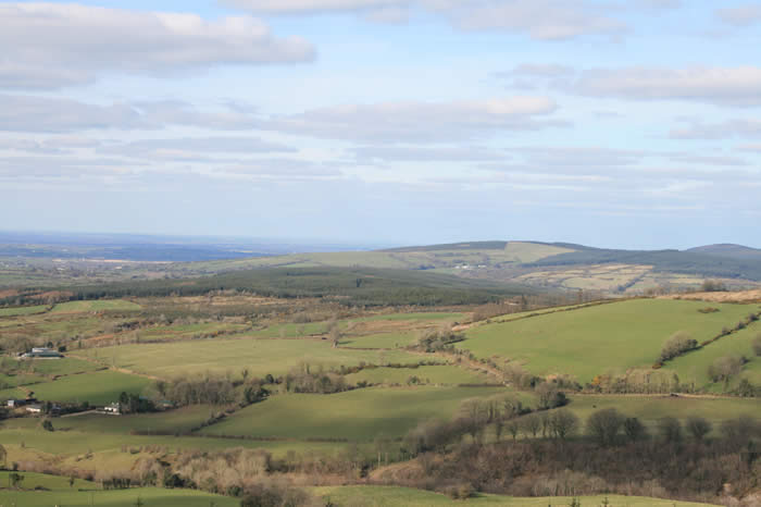 The Offaly WayWalking route · 3.1 mi