What is recorded here
In grassland. Circular-shaped area (diam. c. 45m) defined by a scarp and ditch as depicted on the OSi 25-inch map. Outline of earthwork visible on Digital Globe orthoimage taken between 2011-13.
See attached Google Earth orthoimages
Compiled by: Caimin O'Brien
Date of upload: 16 August 2023
The monument record does not grant public access. Check the route and ask the landowner before entering private land.
- What survives
- Recorded monument
Places near here
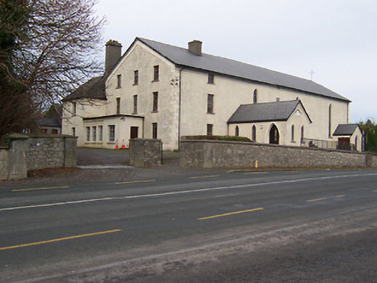 Catholic Church of the Assumptionchurch/chapel · 168 yd
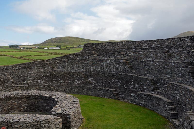 Ancient Ring FortRuins · 380 yd
 Hachured, Bells HillFairy fort / earthen ringfort · 1659 yd
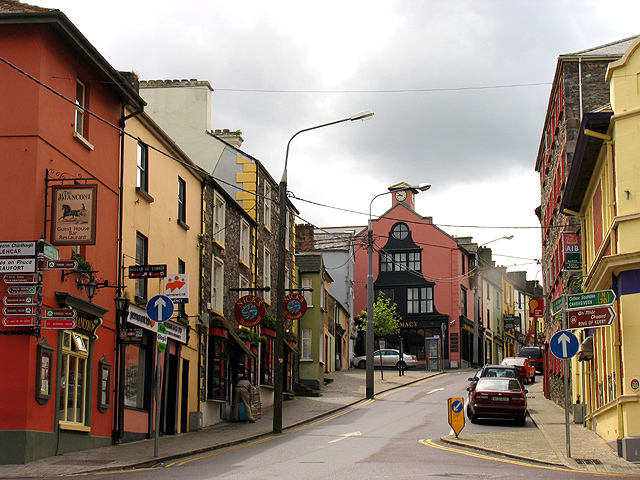 Partially hachuredFairy fort / earthen ringfort · 1.0 mi
 Taghmon CastleCastle, tower house · 1.6 mi
 Long PlantingForest · 1.8 mi
 CastleCastle, motte · 2.1 mi
 Scragh Bog Nature ReserveNature reserve · 2.5 mi
 Church IslandIsland · 3.2 mi
 Saint Brigid's WellSpring · 3.4 mi
 Srudarra IslandIslet · 4.0 mi
 United Nations War MemorialMemorial · 4.1 mi