What is recorded here
Fairy fort / earthen ringfort in Parsonstown is a fairy fort or earthen ringfort in Parsonstown, County Westmeath, Ireland. The site lies in grassland, situated 60 metres to the southeast of another ringfort. It was depicted on the OSi 25-inch map as a circular-shaped area with a diameter of approximately 40 metres, enclosed by a bank. The outline of the ringfort was visible on a Digital Globe orthoimage taken between 2011 and 2013.
There is no paper file in the ASI archive for this monument. In grassland with ringfort (WM012-065----) 60m to SE. Depicted on the OSi 25-inch map as a circular-shaped area (diam. c. 40m) enclosed by a bank. Outline of ringfort visible on Digital Globe orthoimage taken between 2011-13.
Compiled by: Caimin O'Brien
Date of upload: 16 August 2023
The monument record does not grant public access. Check the route and ask the landowner before entering private land.
- What survives
- Recorded monument
Places near here
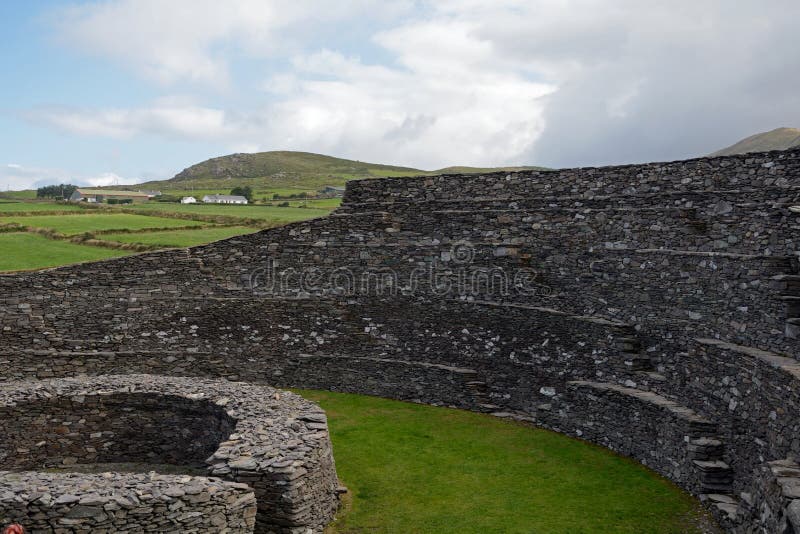 Ancient Ring FortRuins · 396 yd
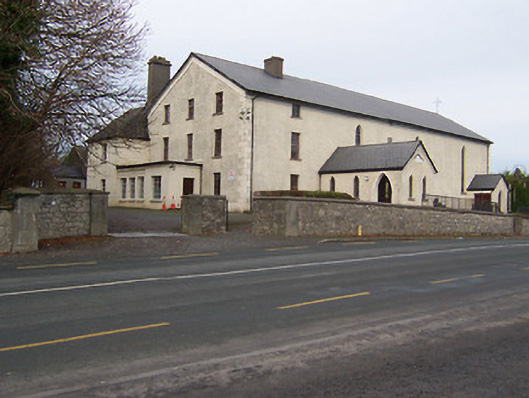 Catholic Church of the Assumptionchurch/chapel · 913 yd
 OutlinedFairy fort / earthen ringfort · 1439 yd
 Hachured, RathmoreFairy fort / earthen ringfort · 1619 yd
 Taghmon CastleCastle, tower house · 1.6 mi
 CastleCastle, motte · 1.8 mi
 KnockeyonMountain / peak · 2.0 mi
 Long PlantingForest · 2.1 mi
 Scragh Bog Nature ReserveNature reserve · 2.4 mi
 Church IslandIsland · 3.3 mi
 Saint Brigid's WellSpring · 3.7 mi
 Srudarra IslandIslet · 4.1 mi