What is recorded here
Three stone troughs sit buried beneath a wide ribbon of fire-cracked sandstone on the western flood-plain of the River Nore. People heated water there, perhaps for cooking, cleaning or ritual, before deliberately filling the pits with burnt debris and sealing them under a broad mound. A gas pipeline broke the silence in 1999, revealing the rectangular trough, its grey clay lining and a small whetstone dropped into the backfill. The place still smells of wet earth, hot stone and forgotten labour.
Within the western flood-plain of the River Nore. This fulacht fia was revealed during archaeological monitoring of a Bord Gáis Éireann gas pipeline development and was subsequently excavated in August 1999 (Stevens 2000, 151; Licence no. 99E0598).
Three separate troughs clustered in the centre of the monument, these consisted of a sub-circular pit (diam. 2.2m; D 0.8m), with a single post-hole immediately to the S; another sub-circular pit (diam. 1.7m; D 0.9m) 1m to the W, which had a single associated post-hole to the E and a rectangular pit (dims. 2.8m x 1.6m; D 0.5m) with rounded edges immediately N of the latter pit. All three were deliberately backfilled with burnt mound material. The rectangular pit was lined with bright grey putty clay (T 0.3m) and a small, tight cluster of shallow stake-holes and a further isolated stake-hole were found at the E edge of this trough. A small whetstone was retrieved from its lower backfill.
The troughs were sealed by a circular burnt mound (dims. 21m N-S; 11m+ E-W; D 0.25m) of fire-cracked stone (sandstone 95%/limestone 5%), charcoal lumps and black silt. An informal hearth area, S of the trough complex, was sealed within the burnt mound. Later ploughing and modern drainage activity reduced the level of the top of the mound. (Stevens 2000, 151)
Compiled by: Jean Farrelly
Date of upload: 31 July 2018
The monument record does not grant public access. Check the route and ask the landowner before entering private land.
- What survives
- Recorded monument
Places near here
 Concentric enclosure in ParksgroveConcentric enclosure · 614 yd
 Enclosure in Grange (fassadinin By.)Enclosure · 791 yd
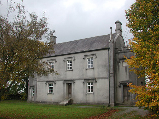 Ballyragget National Schoolschool · 1073 yd
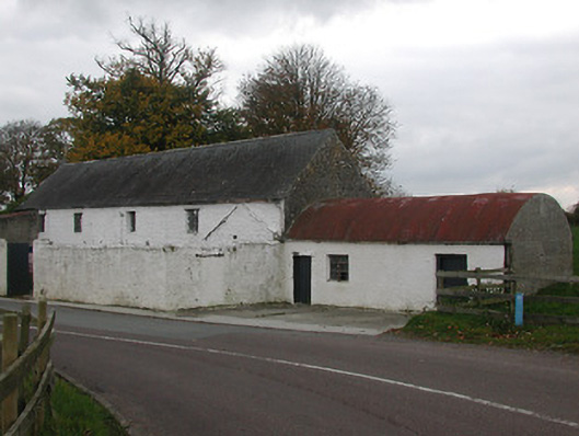 mill (water)mill (water) · 1101 yd
 Ballyragget Cas.Castle, tower house · 1593 yd
 Moat Castle (site of)Archaeological place · 1.6 mi
 Donaghmore WellSpring · 1.7 mi
 Anker's IslandIsland · 2.1 mi
 Graveyard in SraleaghGraveyard · 2.1 mi
 Emma Jane Browne-ClaytonMemorial · 3.9 mi
 Red horse-chestnutRed horse-chestnut · 3.9 mi
 Freshford LoopWalking route · 4.4 mi