What is recorded here
NW of a spring well, in grassland. Identified during fieldwork in 1987, a low, roughly oval mound (max. dims. 7m N-S; 4m E-W) of burnt stone and charcoal.
Compiled by: Jean Farrelly
Date of upload: 16 February 2018
The monument record does not grant public access. Check the route and ask the landowner before entering private land.
- What survives
- Recorded monument
Places near here
 Concentric enclosure in ParksgroveConcentric enclosure · 270 yd
 Enclosure in Grange (fassadinin By.)Enclosure · 525 yd
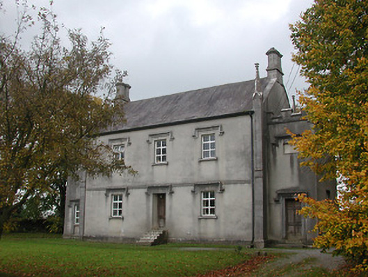 Ballyragget National Schoolschool · 1023 yd
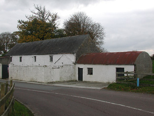 mill (water)mill (water) · 1063 yd
 Ballyragget Cas.Castle, tower house · 1322 yd
 Donaghmore WellSpring · 1.4 mi
 Moat Castle (site of)Archaeological place · 1.7 mi
 Graveyard in SraleaghGraveyard · 2.1 mi
 Anker's IslandIsland · 2.4 mi
 Emma Jane Browne-ClaytonMemorial · 3.8 mi
 Red horse-chestnutRed horse-chestnut · 3.9 mi
 Freshford LoopWalking route · 4.4 mi