What is recorded here
Grave Yard was a children's burial ground on the north side of an east-west road along an esker in County Galway. It appeared as an unenclosed L-shaped area on early maps, became enclosed by 1933, and measured about thirty metres across. No surface trace survives now, though a holy well lay one hundred and eighty metres to the west. The children may have been laid near water and road traffic, their small graves hidden beneath grass and time.
On N side of a road which runs E-W along an esker. Indicated on OS 1st ed. as a roughly L-shaped unenclosed area marked simply as 'Graveyard'. Apparently enclosed by time of 3rd ed. (1933), when it appears as an irregular area (L/Wth c. 30m) and is named as a CBG. No visible surface trace survives. A holy well (GA068-049----) lay c. 180m to W.
The above description is derived from the published 'Archaeological Inventory of County Galway Vol. I - West Galway'. Compiled by Paul Gosling (Dublin: Stationery Office, 1993).
Date of upload: 05 August 2010
The monument record does not grant public access. Check the route and ask the landowner before entering private land.
- What survives
- Recorded monument
Places near here
 ToberendaHoly well · 207 yd
 post boxpost box · 838 yd
 ToberbreediaHoly well · 1235 yd
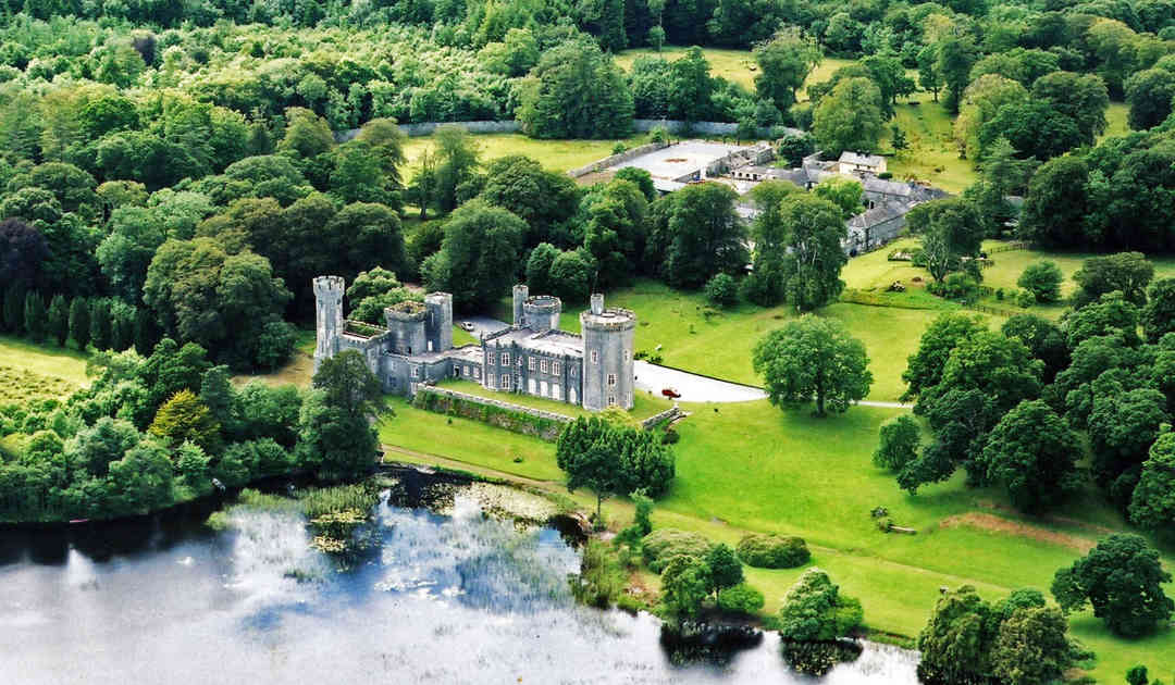 Two Sisters Castles (in ruins)Castle, tower house · 1370 yd
 KilnKiln, lime · 1.1 mi
 Gurlaun IslandIslet · 1.5 mi
 Brigit's GardenHeritage attraction · 2.1 mi
 Oghery Castle in ruinsCastle, unclassified · 2.1 mi
 Willyrogue IslandIslet · 2.3 mi
 Annagh WoodWood · 2.6 mi
 Connemara MarbleHeritage attraction · 2.9 mi
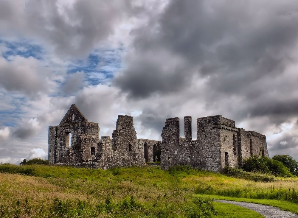 Cnoc an Bhaile NuaMountain / peak · 3.4 mi