
What is recorded here
On N side of a road c. 180m W of a CBG (GA068-050----). This well, correctly Tobar Éinne, is indicated on 1st ed. of OS 6-inch map and was still evidently extant at time of 3rd ed. (1933); since completely destroyed by quarrying. No visible surface trace survives.
The above description is derived from the published 'Archaeological Inventory of County Galway Vol. I - West Galway'. Compiled by Paul Gosling (Dublin: Stationery Office, 1993).
Date of upload: 05 August 2010
Toberenda, or Tobar Éinne, was traditionally associated with Saint Enda, a 6th-century Irish saint and founder of the monastery at Ardfert, County Kerry. The well was likely visited for its supposed healing properties, particularly for skin ailments, and may have been a site of pilgrimage or local devotion before its destruction in the 20th century.
The monument record does not grant public access. Check the route and ask the landowner before entering private land.
- What survives
- Recorded monument
Places near here
 post boxpost box · 1040 yd
 ToberbreediaHoly well · 1274 yd
 TobemagoneenyHoly well · 1505 yd
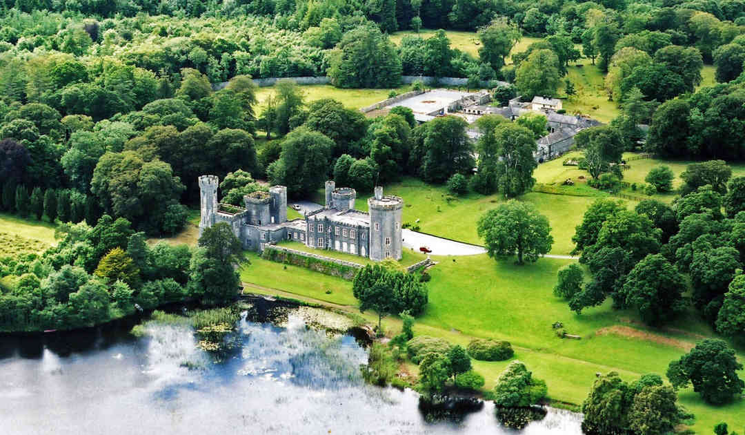 Two Sisters Castles (in ruins)Castle, tower house · 1546 yd
 KilnKiln, lime · 1.0 mi
 Gurlaun IslandIslet · 1.7 mi
 Brigit's GardenHeritage attraction · 2.0 mi
 Oghery Castle in ruinsCastle, unclassified · 2.0 mi
 Willyrogue IslandIslet · 2.4 mi
 Annagh WoodWood · 2.4 mi
 Connemara MarbleHeritage attraction · 2.9 mi
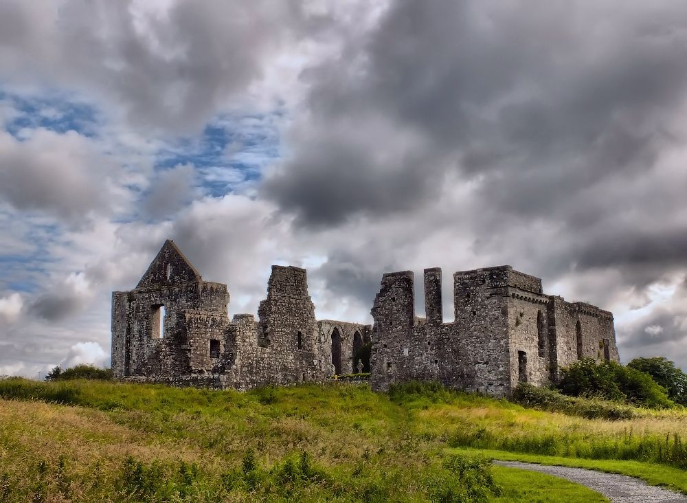 Cnoc an Bhaile NuaMountain / peak · 3.3 mi
Other information
Photo: Credit not shown in the picture search · Rights wording not checked; contact us if this picture should be removed