
What is recorded here
Situated just off summit on SW facing slope of natural hillock in grassland, with good views to S and SW. Moated site (WM012-097---) 200m to NE. Unclassified castle (WM012-114---) 500m to SE. A large raised sub-circular shaped area (approx. diam. 43m N-S; 40m E-W) enclosed by a poorly preserved earthen bank and external fosse. The bank is best preserved from N- ESE, elsewhere it is fragmentary and reduced to a scarp in places. The fosse has been steepened where it forms part of a field fence from E-S, and is visible elsewhere. The interior slopes from NNW-SSE. There is a possible entrance gap at SE (Wth 1.9m) and a causeway (Wth 2.1m; L 1m), although this causeway appears to have been remodelled recently.
See attached profile of monument surveyed and drawn by the ASI.
Compiled by: Frank Coyne and Caimin O'Brien
Date of upload: 19 February 2018
The monument record does not grant public access. Check the route and ask the landowner before entering private land.
- What survives
- Recorded monument
Places near here
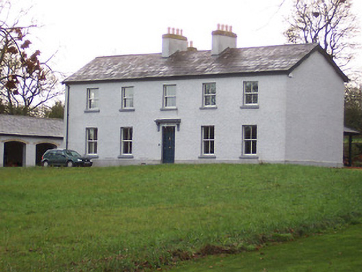 Portnashangan Househouse · 555 yd
 CastleCastle, tower house · 705 yd
 Partially indicatedFairy fort / earthen ringfort · 753 yd
 Scragh Bog Nature ReserveNature reserve · 770 yd
 Partially hachuredFairy fort / earthen ringfort · 882 yd
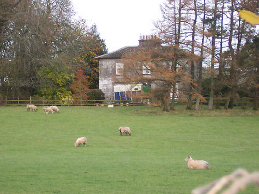 The Gleberectory/glebe/vicarage/curate's house · 909 yd
 Church IslandIsland · 1.3 mi
 Long PlantingForest · 1.7 mi
 Srudarra IslandIslet · 2.1 mi
 Nugent's CastleCastle · 2.5 mi
 Saint Brigid's WellSpring · 2.6 mi
 Bridge Memorial (Kenna)Memorial · 3.2 mi
Other information
Photo: Credit not shown in the picture search · Rights wording not checked; contact us if this picture should be removed