What is recorded here
Indicated is a ringfort on an Offaly ridge where a new outer bank and living trees have swallowed the old inner earthworks. The site transforms human defence into decorative nature, suggesting people valued the shape more than the history inside it.
Situated on top of an E-W ridge in undulating countryside. Circular area (diam 27m E-W; 25m N-S) enclosed by two earthen banks with intervening fosse (Wth 3m; ext. D 1m) with causeway entrance (Wth 3m) at NE. Inner bank (Wth 2m; int. H 0.7m; ext. H 1.4m) is not as well preserved as the outer bank (Wth 2m; ext. H 1m) which has a sharper profile and appears to be of recent construction. It is also planted with trees and shrubs. The site appears to be a ringfort which has been reused as a tree ring by the addition of an outer bank which has been planted with trees.
The above description is derived from the published 'Archaeological Inventory of County Offaly' (Dublin: Stationery Office, 1997). In certain instances the entries have been revised and updated in the light of recent research.
Date of upload: 23 May 2011
The monument record does not grant public access. Check the route and ask the landowner before entering private land.
- What survives
- Recorded monument
Places near here
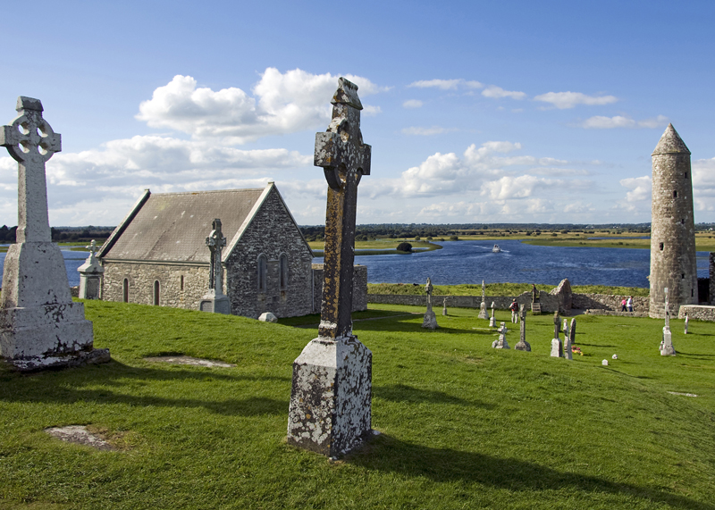 IndicatedEnclosure · 444 yd
 Dotted lineBawn · 1150 yd
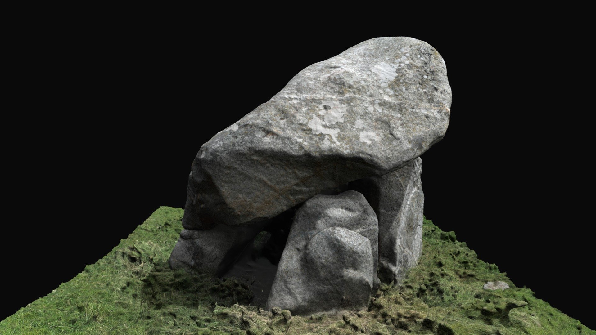 Enclosure in BallybrackEnclosure · 1331 yd
 CastleCastle, motte · 1577 yd
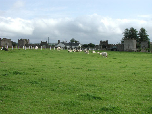 Franckfort Castlecountry house · 1.1 mi
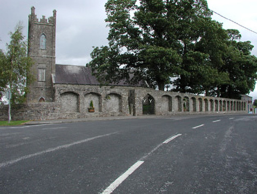 Dunkerrin Churchchurch/chapel · 1.2 mi
 Coolock WoodForest · 2.9 mi
 White MulberryWhite Mulberry · 3.0 mi
 Roscrea Petty Sessions HouseHeritage attraction · 4.2 mi
 BenduffMountain / peak · 4.4 mi
 Eagle HillMountain / peak · 4.5 mi
 Millennium GardenMemorial · 5.1 mi