What is recorded here
One chamber in Oughtminnee: a tall stone, lean to the southwest, set in heather above Dunlough Bay. A sheep path has worn the earth around its feet, exposing the smaller stones that helped hold it upright. People may have passed this mark for generations, reading distance, weather or direction on the western sea.
In rough heather and gorse-covered pasture, overlooking Dunlough Bay near Mizen Head. This standing stone (0.45m x 0.35m; H 1.05m) is orientated NE-SW. The stone leans gently to the SW and a sheep path has exposed packing-stones.
The above description is derived from 'The Archaeological Inventory of County Cork. Volume 5' (Dublin: Stationery Office, 2009).
Date of upload: 22 December 2009
Probably dating to the Late Neolithic or Bronze Age, this standing stone may have had ritual or territorial significance, possibly linked to landscape orientation or early burial practices. Local folklore is not recorded, but its position overlooking the bay suggests a connection to seafaring or coastal trade in prehistoric times.
The monument record does not grant public access. Check the route and ask the landowner before entering private land.
- What survives
- Recorded monument
Places near here
 TobernaneeveHoly well · 506 yd
 RoadRoad, road/trackway · 948 yd
 Hut site in DunloughHut site · 1043 yd
 Dunlough CastleHeritage attraction · 1407 yd
 Three Castles (in Ruins)Castle, tower house · 1423 yd
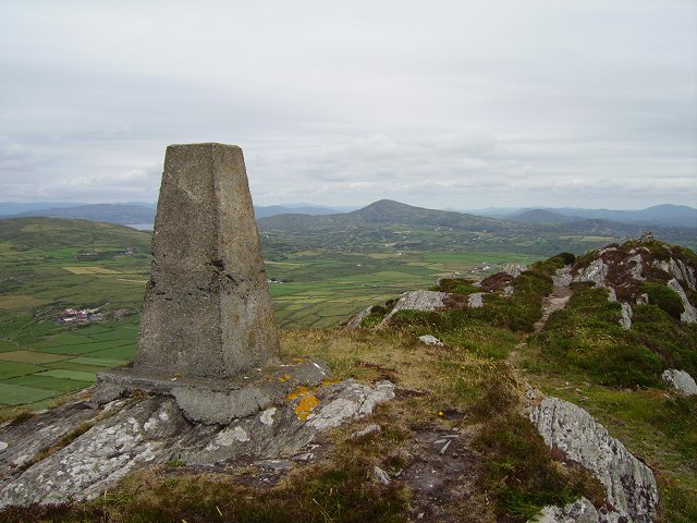 Mizen PeakMountain / peak · 1.2 mi
 Castle (Site of)Castle, unclassified · 1.5 mi
 Barley CoveHeritage attraction · 1.5 mi
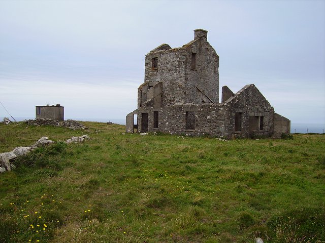 Cloghane Signal Towersignal tower · 1.6 mi
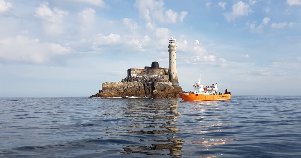 Fastnet Lighthouse Centenary Stone-CourseMemorial · 1.8 mi
 Chimney CoveBeach / strand · 1.9 mi
 Creamery PlatformMemorial · 1.9 mi