What is recorded here
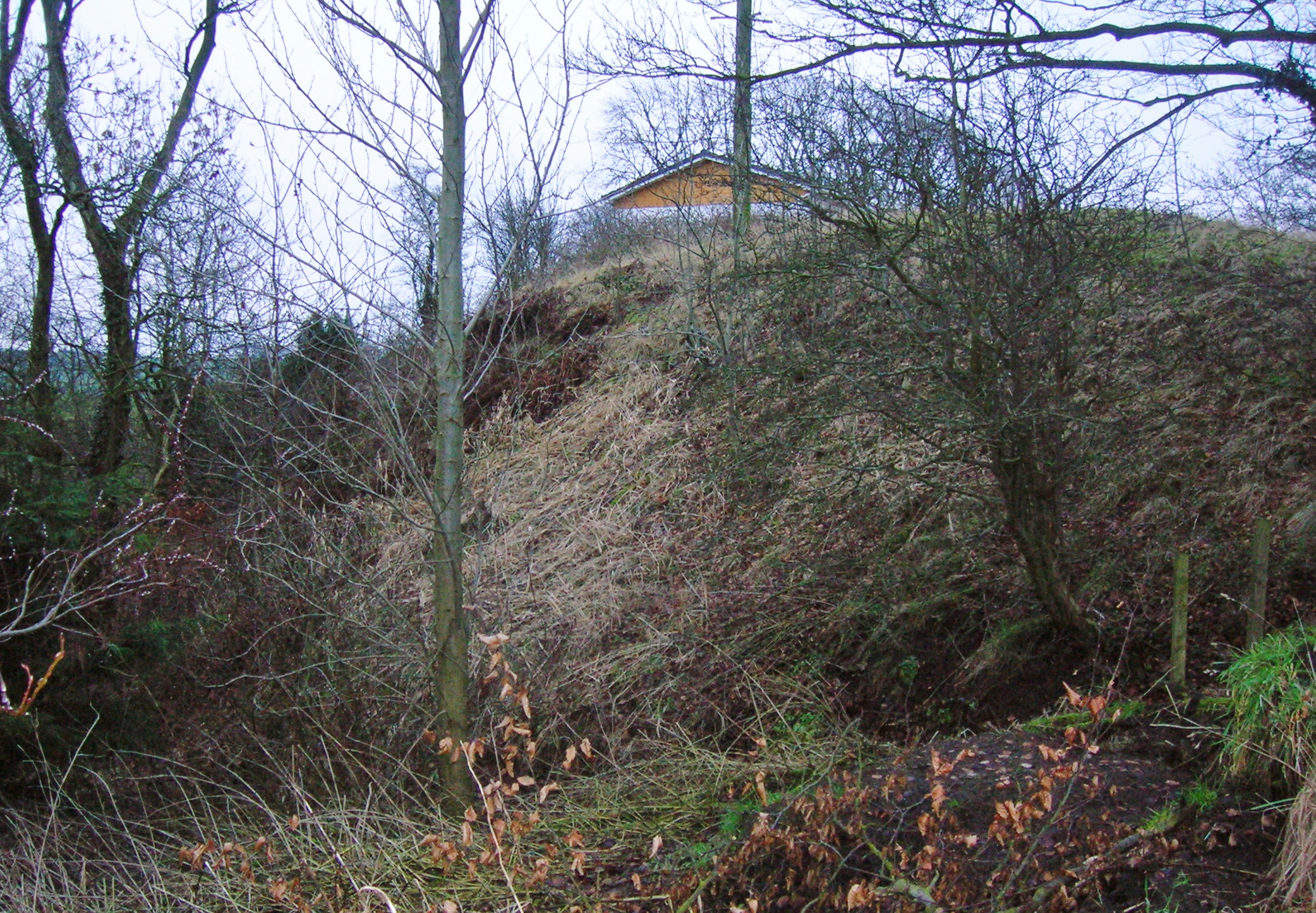
Gravel hungriness erased the Moat in Osberstown, leaving only a golf course pavilion and a absent mound behind.
Named 'Moat' and shown as a raised and possibly steep-sided, circular earthwork or mound on a manuscript map (NLI Ms. 21 F 35 (1727-1838)). Extensive gravel extraction has taken place at this location over the years, recorded on both eds. of the OS 6-inch map (1838 and 1938-39) and on the intervening OS 25-inch map, which shows gravel pits and a 'Kildare Golf Course' pavilion in this area. No obvious visible trace of an earthwork survives.
Compiled by: Gearóid Conroy
Date of upload: 10 June 2011
A Neolithic mound or possible ring barrow; significance uncertain due to extensive gravel extraction.
The monument record does not grant public access. Check the route and ask the landowner before entering private land.
- What survives
- Recorded monument
Places near here
 European Crab AppleEuropean Crab Apple · 572 yd
 Enclosure in OsberstownEnclosure · 800 yd
 Church (in Ruins)Church · 1037 yd
 Jigginstown Bridgebridge · 1467 yd
 Castle RagCastle, tower house · 1571 yd
 North MoteArchaeological place · 1.3 mi
 Site of Black CastleCastle, unclassified · 1.4 mi
 Poplar SquarePicnic place · 1.5 mi
 Monread District Park WoodsWood · 1.8 mi
 Newbridge SilverwareMuseum · 5.3 mi
 Grand Canal WayVisitor information · 5.8 mi
 Cupidstown HillMountain / peak · 8.3 mi