
What is recorded here
Aerial photograph (GB89.AF.18) shows cropmark of an incomplete circular enclosure defined by a fosse and with a curvilinear annexe extending to the north-east.
Compiled by: Dr. Gillian Barrett
Date of upload: 08 March 2012
A local fairy fort (ringfort/rath); wider significance not recorded.
The monument record does not grant public access. Check the route and ask the landowner before entering private land.
- What survives
- Recorded monument
Places near here
 European Crab AppleEuropean Crab Apple · 1355 yd
 Church (in Ruins)Church · 1461 yd
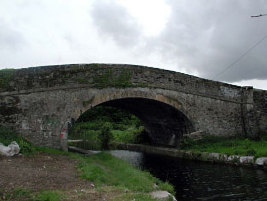 Ploopluck Bridgebridge · 1533 yd
 Castle RagCastle, tower house · 1.1 mi
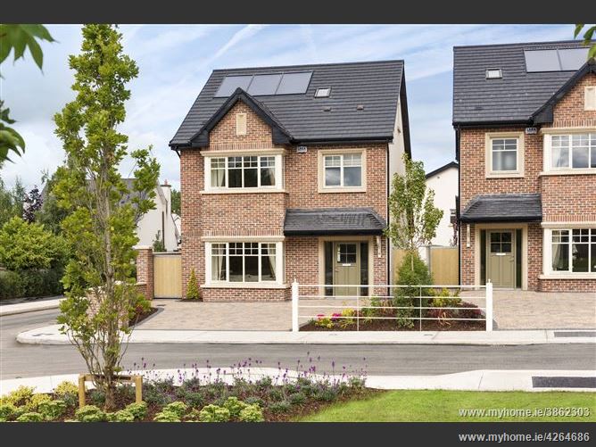 Enclosure in Oldtown DemesneEnclosure · 1.1 mi
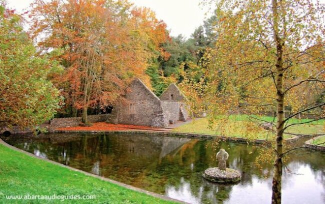 St. Patricks WellHoly well · 1.2 mi
 Site of Black CastleCastle, unclassified · 1.3 mi
 Poplar SquarePicnic place · 1.3 mi
 Monread District Park WoodsWood · 1.4 mi
 Newbridge SilverwareMuseum · 5.8 mi
 Cupidstown HillMountain / peak · 8.0 mi
 Athgoe HillMountain / peak · 8.3 mi
Other information
Photo: Credit not shown in the picture search · Rights wording not checked; contact us if this picture should be removed