
What is recorded here
Marked on Taylor's Map of County Kildare (1783) as a small circular feature adjacent to the road. Possibly a ringfort. No visible surface traces were noted in 1985 (SMR file).
Compiled by: Gearóid Conroy
Date of upload: 10 June 2011
A local fairy fort (ringfort/rath); wider significance not recorded.
The monument record does not grant public access. Check the route and ask the landowner before entering private land.
- What survives
- Recorded monument
Places near here
 Monread District Park WoodsWood · 503 yd
 Naas ParkWood · 573 yd
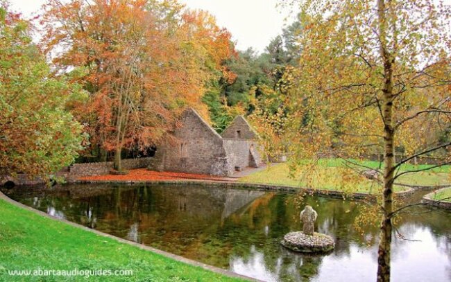 St. Patricks WellHoly well · 597 yd
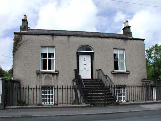 Saint Alban'shouse · 777 yd
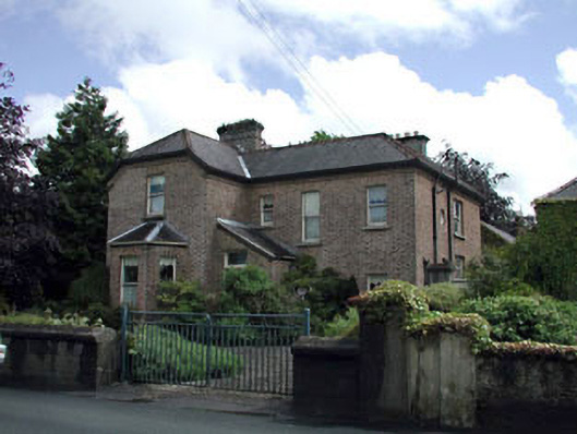 Winterwoodhouse · 799 yd
 Font in Naas WestFont · 1116 yd
 Poplar SquarePicnic place · 1247 yd
 Site of Eustace CastleCastle, tower house · 1289 yd
 Site of Black CastleCastle, unclassified · 1352 yd
 Cupidstown HillMountain / peak · 6.9 mi
 Athgoe HillMountain / peak · 7.3 mi
 Saint Finian's WellSpring · 7.7 mi
Other information
Photo: Credit not shown in the picture search · Rights wording not checked; contact us if this picture should be removed