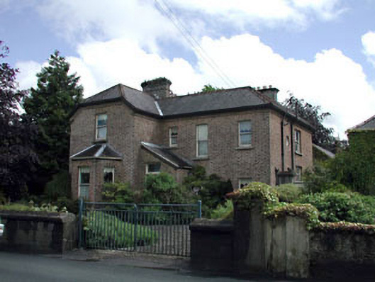
What is recorded here
Detached four-bay two-storey yellow brick house, c.1870, retaining early aspect with single-bay single-storey lean-to advanced porch to front, single-bay two-storey projecting end bay to left (north) having single-bay single-storey canted bay window to ground floor, and single-bay two-storey return to rear to east. Hipped roofs with slate (hipped gabled to projecting bay; lean-to to porch). Red clay ridge tiles. Yellow brick chimney stacks. Timber eaves and bargeboards on yellow brick eaves course. Cast-iron rainwater goods. Yellow brick Flemish bond walls. Square-headed window openings (oculus window to first floor side elevation to south). Stone sills. 1/1 timber sash windows. Square-headed door opening. Timber panelled door. Overlight. Set back from road in own grounds. Landscaped grounds to site.
This house, which is composed on an irregular plan, is a fine and well-maintained house that retains its original form and character. The house is of social and historic interest, representing the middle-size dwellings of the prosperous merchant class in Naas in the mid to late nineteenth century. The house also represents the early development of the outskirts of the town. The house displays features characteristic of late Victorian domestic architecture, including advanced and projecting bays, together with canted bay windows, while the early mass-produced yellow brick provides a polychromatic tone to the composition. The house retains most of its original features and materials, including timber sash fenestration, a timber door, together with a slate roof having cast-iron rainwater goods. The retention of an early external aspect suggests that the interior may retain early or original features and fittings of note. The house forms an attractive feature on the streetscape of Sallins Road leading out of Naas to the north.
This does not grant access. Most recorded buildings are privately owned; view them only from public ground unless the owner allows entry.
Places near here
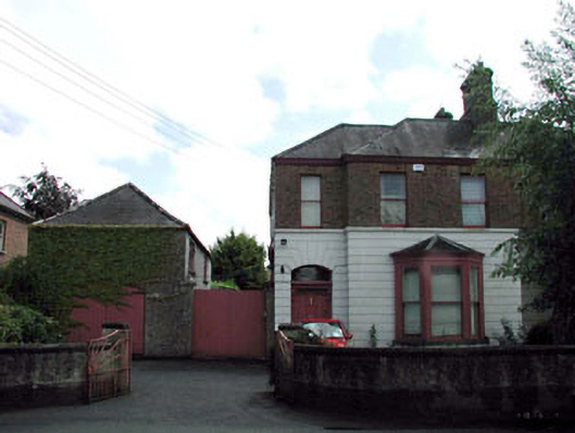 The Firshouse · 24 yd
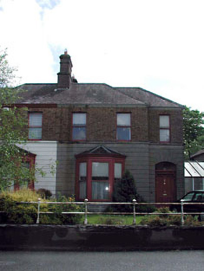 Titusvillehouse · 33 yd
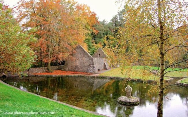 St. Patricks WellHoly well · 204 yd
 Font in Naas WestFont · 319 yd
 Poplar SquarePicnic place · 452 yd
 Site of Eustace CastleCastle, tower house · 490 yd
 Site of Black CastleCastle, unclassified · 580 yd
 Monread District Park WoodsWood · 1027 yd
 Naas ParkWood · 1190 yd
 Cupidstown HillMountain / peak · 6.8 mi
 Athgoe HillMountain / peak · 7.5 mi
 Saint Finian's WellSpring · 8.0 mi
Other information
Photo: National Inventory of Architectural Heritage · Website use allowed for educational or private purposes with source credit