
What is recorded here
Named 'Templecarragh' on Noble and Keenan's 1752 Map of County Kildare, and 'Temple Carragh' (in ruins) on Taylor's 1782 map of the county. At the N end of a short, low, N-S pasture ridge. A very poorly preserved, rectangular structure (int. dims. L 8.3m E-W; Wth 4.1m) is built of randomly coursed limestone blocks and flags. The thick walls (av. T 1m) are almost levelled (max. H 1.6m) and a rubble-filled gap (Wth 1.4m) to W of centre in the N wall may be the site of the original doorway. Windows do not survive, but gaps in the E gable wall (Wth 1.5m) and near the W end of the S wall (Wth 1.6m) mark their locations. A single, chamfered quoin is visible on the external SE angle. A grass covered, raised, rectangular area, running E from the E gable (L 7.4m E-W), defined by a scarp (H 0.8m) may be the remains of an associated structure, although it appears unlikely to have been a chancel. Fitzgerald (1905, 355) noted the occurrence of human bones at the site, suggesting a possible graveyard (KD019-029001-).
Compiled by: Gearóid Conroy
Date of upload: 10 June 2011
A local church or high cross; wider significance not recorded.
The monument record does not grant public access. Check the route and ask the landowner before entering private land.
- What survives
- Recorded monument
Places near here
 Jigginstown Bridgebridge · 440 yd
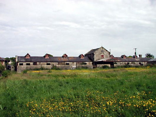 kennelskennels · 529 yd
 Castle RagCastle, tower house · 538 yd
 European Crab AppleEuropean Crab Apple · 873 yd
 Enclosure in OsberstownEnclosure · 1461 yd
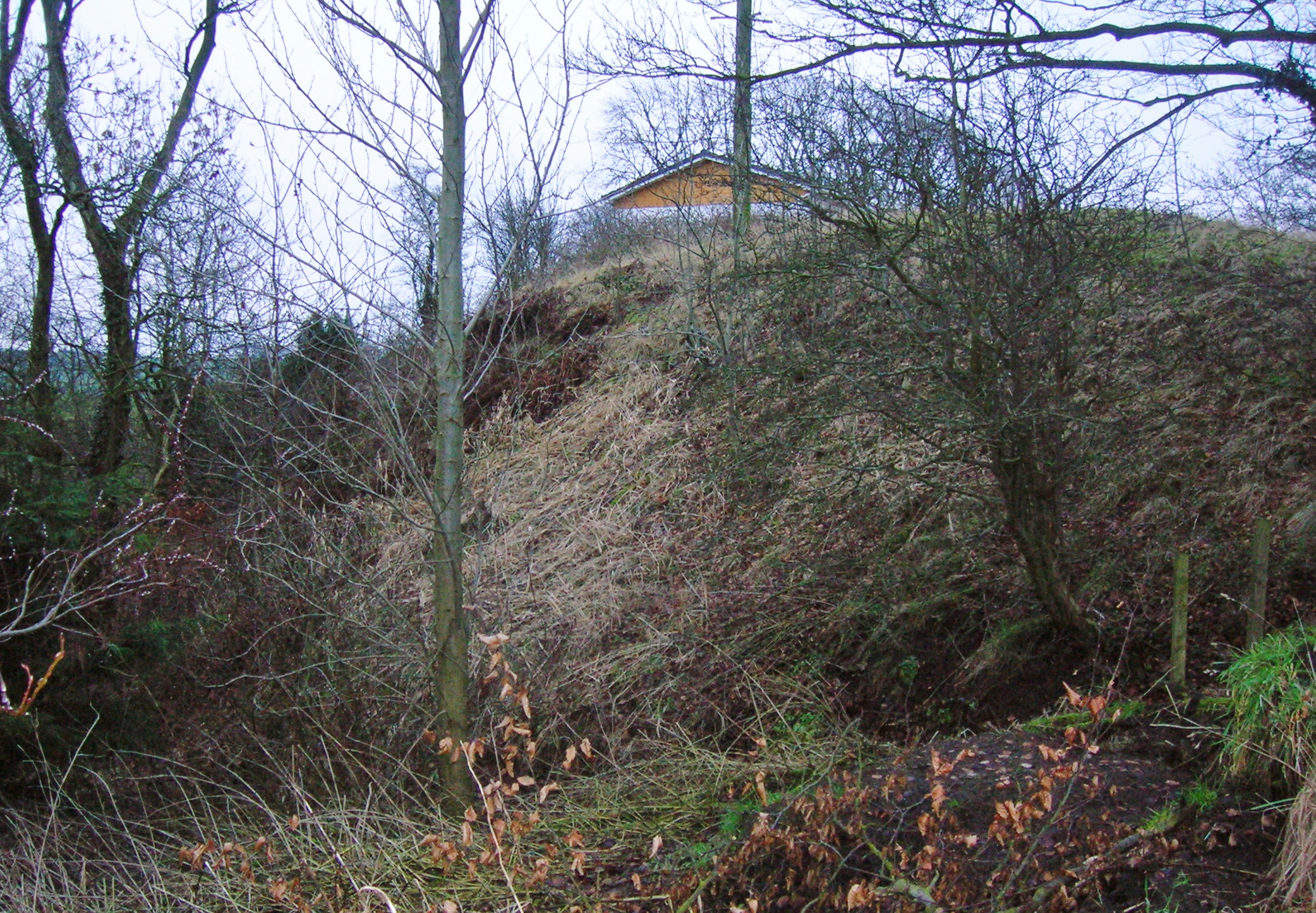 North MoteArchaeological place · 1702 yd
 South Moat, Ordnance Ground, Fair GreenCastle, motte · 1732 yd
 Poplar SquarePicnic place · 1.1 mi
 Monread District Park WoodsWood · 1.7 mi
 Newbridge SilverwareMuseum · 5.3 mi
 Cupidstown HillMountain / peak · 8.0 mi
 Athgoe HillMountain / peak · 8.7 mi
Other information
Photo: Credit not shown in the picture search · Rights wording not checked; contact us if this picture should be removed