What is recorded here
A small, steep-sided mound is marked on a manuscript map (NLI Ms. 21 F 35 (1727-1838)), but is not recorded on the OS 6-inch mapping. On top of a long, gentle, NE-facing, pasture slope. No obvious visible surface trace of an artificial mound survives.
Compiled by: Gearóid Conroy
Date of upload: 10 June 2011
A Neolithic burial mound; significance not well established due to lack of visible remains or archaeological investigation.
The monument record does not grant public access. Check the route and ask the landowner before entering private land.
- What survives
- Recorded monument
Places near here
 Enclosure in OsberstownEnclosure · 741 yd
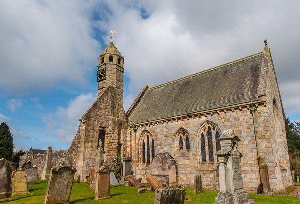 Brides Church (in ruins)Church · 1065 yd
 bridgebridge · 1593 yd
 European Crab AppleEuropean Crab Apple · 1.1 mi
 Enclosure in Oldtown DemesneEnclosure · 1.3 mi
 IndicatedCastle, tower house · 1.4 mi
 Castle RagCastle, tower house · 1.5 mi
 Naas ParkWood · 1.6 mi
 Poplar SquarePicnic place · 1.7 mi
 Newbridge SilverwareMuseum · 5.9 mi
 Cupidstown HillMountain / peak · 8.2 mi
 Athgoe HillMountain / peak · 8.3 mi