What is recorded here
Fairy fort / earthen ringfort in Orchardstown West is a fairy fort or earthen ringfort in Orchardstown West, County Tipperary, Ireland. The roughly circular enclosure measures about 28 metres from northwest to southwest and 28.3 metres from northwest to southeast, with no evidence of a bank in the southwest. A broad bank defines the remaining circuit, measuring 3.2 metres across its crest and 6.6 metres across its base. The 2011 source says the bank appeared to have been partly flattened, especially in the north quadrant.
On a gentle NE-facing slope in gently undulating terrain, under pasture. Described locally as a 'fox covert', the ringfort is overgrown with scrub, nettles and long grass, the edge of the monument in N, W and S quadrants is particularly badly overgrown. Roughly circular enclosure (diam. c. 28m NW-SW, there is no evidence of a bank in SW; 28.3m NW-SE) defined by a broad bank (Wth 3.2m crest, 6.6m base; int. H 0.44m; ext. H 0.74m) which appears to have been partially flattened, particularly in the N quadrant.
Compiled by: Jean Farrelly
Date of upload: 26 August 2011
The monument record does not grant public access. Check the route and ask the landowner before entering private land.
- What survives
- Recorded monument
Places near here
 RathduffEnclosure · 739 yd
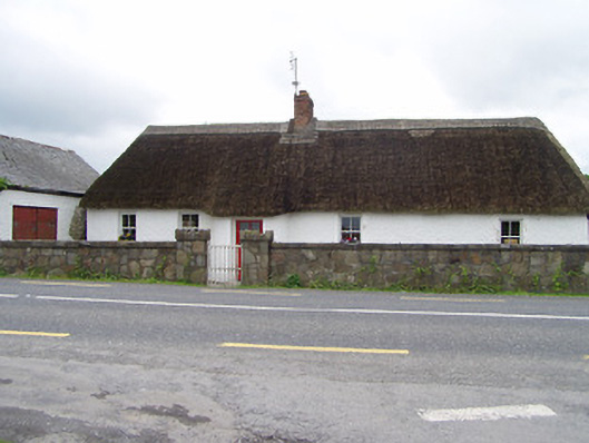 The Thatchhouse · 889 yd
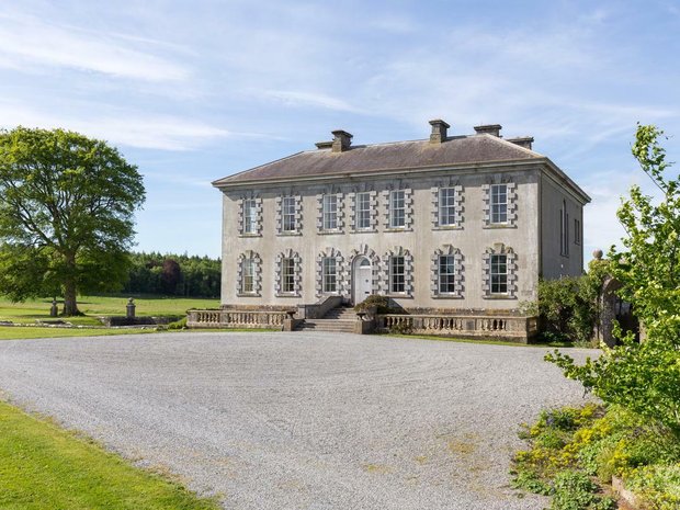 Enclosure in Ballyveelish NorthEnclosure · 928 yd
 Church (in Ruins)Church · 1.1 mi
 Pedunculate OakPedunculate Oak · 1.2 mi
 CastleCastle, unclassified · 1.3 mi
 RathronanCastle, ringwork · 1.4 mi
 Persian WalnutPersian Walnut · 2.2 mi
 Francis HopkinsMemorial · 3.2 mi
 Charles BianconiMemorial · 3.2 mi
 Main GuardHeritage attraction · 3.2 mi
 Merchant's HouseVisitor information · 3.2 mi