What is recorded here
A large earth-fast quadrangular granite boulder (dims L 2.6m; Wth 2.3m; H 0.55m) with a smooth, sub-circular depression (diams. 0.28m; 0.25m; D 0.06m) just SW of centre. There are several small 'cups' in the roughly flat, but otherwise fissured and pitted upper surface. (SMR file)
Compiled by: Claire Breen
Date of upload: 31 January 2013
Likely dating to the Neolithic or Bronze Age, this rock art may represent ritual or symbolic markings, possibly linked to water or fertility, given the central depression's form. Similar features in other regions have been associated with ceremonial use or territorial markers.
The monument record does not grant public access. Check the route and ask the landowner before entering private land.
- What survives
- Recorded monument
Places near here
 Douglas-firDouglas-fir · 765 yd
 Monkey-puzzleMonkey-puzzle · 1058 yd
 Churches (in Ruins)Church · 1508 yd
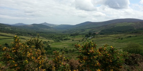 Enclosure in Crone (rathdown By.)Enclosure · 1656 yd
 Enclosure in AnnacriveyEnclosure · 1739 yd
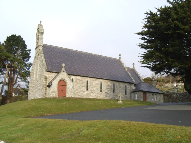 Saint Patrick's Catholic Churchchurch/chapel · 1.1 mi
 Powerscourt EstateHeritage attraction · 1.3 mi
 MaulinMountain / peak · 1.5 mi
 Powerscourt WaterfallWaterfall · 1.8 mi
 Deerpark TrailWalking route · 1.9 mi
 Tonduff East TopMountain / peak · 2.1 mi
 Lover's LeapNamed rock · 2.4 mi