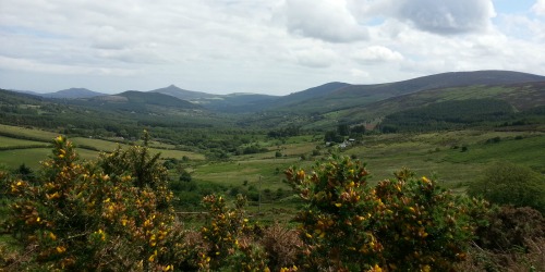
What is recorded here
Situated on a very gentle NE-facing slope with more marked gradients above (S) and below (N). Circular enclosure (diam. c. 20m), about half of which survives, defined by an earthen bank (Wth 1.5m; H 0.8m) and an external fosse (Wth 1.2m; D 0.8m). The enclosure is truncated at the N by a modern field boundary and a forestry track. A smaller oval or circular enclosure (diams. c. 15m E-W; c. 12m N-S) defined by a slight earthen bank is attached at the E; this too is truncated by the boundary and track.
The above description is derived from the published 'Archaeological Inventory of County Wicklow' (Dublin: Stationery Office, 1997). In certain instances the entries have been revised and updated in the light of recent research.
Date of upload: 31 January 2013
The monument record does not grant public access. Check the route and ask the landowner before entering private land.
- What survives
- Recorded monument
Places near here
 Crone WoodForest · 269 yd
 MaulinMountain / peak · 901 yd
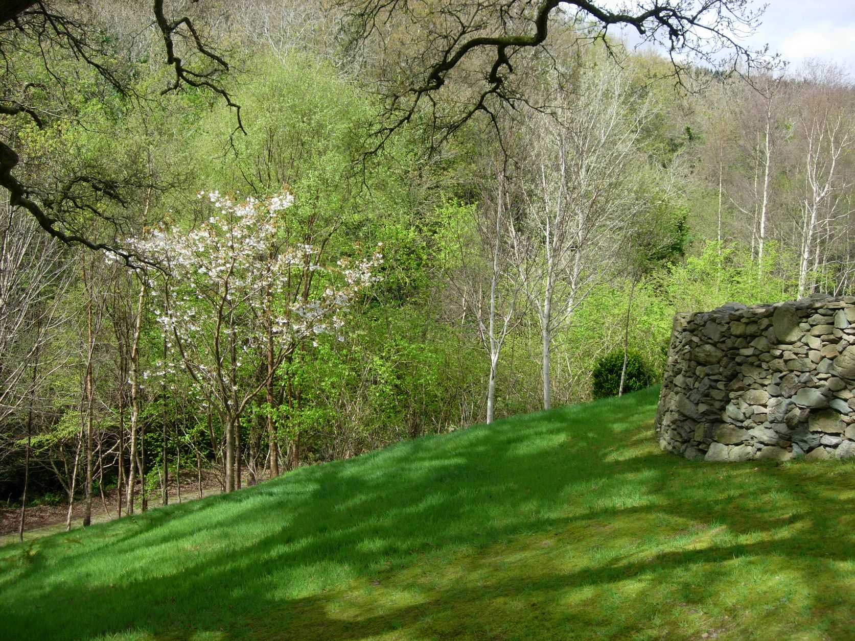 Seskin WoodWood · 1281 yd
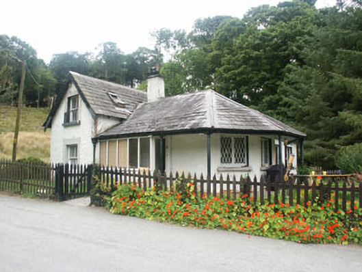 gate lodgegate lodge · 1.1 mi
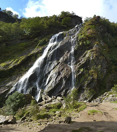 Powerscourt WaterfallWaterfall · 1.1 mi
 Church (Site of)Church · 1.2 mi
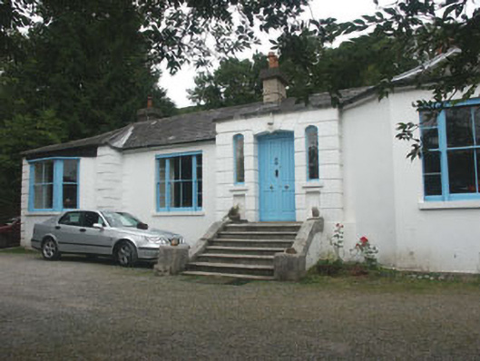 Valclusahouse · 1.2 mi
 Tonduff East TopMountain / peak · 1.3 mi
 Deerpark TrailWalking route · 1.4 mi
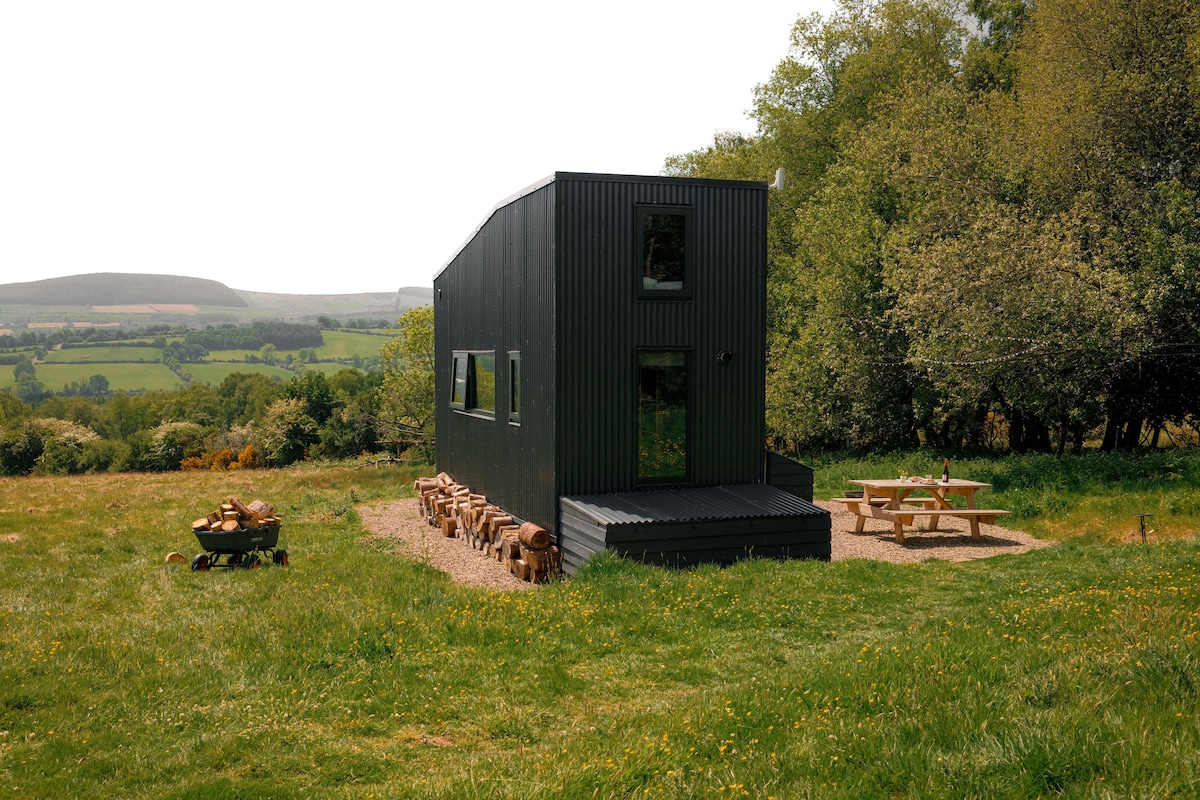 Enclosure in BarnamireEnclosure · 1.5 mi
 Powerscourt EstateHeritage attraction · 2.2 mi
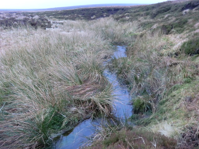 Source of River LiffeySpring · 2.9 mi
Other information
Photo: Credit not shown in the picture search · Rights wording not checked; contact us if this picture should be removed