
What is recorded here
Situated on level ground on the edge of a sharp drop to the S and SE towards the Dargle River. This was called ‘Steach gConaill (Conall’s religious house)’ in Irish, which was the name of the parish (Pers. Com. Conchubhar O Crualaoich). Poorly preserved foundations of the W end of a church (surviving portion L 6m; Wth 5m) of uncoursed masonry (T 1m). It stands within a roughly triangular enclosure (dims. 40m E–W; 25m N–S) defined by an earth and stone bank (Wth 2m; int. H 0.5m) and an external fosse (Wth 3m; max. D 0.8m). Some eighteenth-century headstones occur in the area to the S and E of the church.
The above description is derived from the published 'Archaeological Inventory of County Wicklow' (Dublin: Stationery Office, 1997). In certain instances the entries have been revised and updated in the light of recent research.
Date of upload: 31 January 2013
A church known as Steach gConaill, later called Powerscourt Demesne, was built by the Conall dynasty in the early medieval period, likely between the 7th and 10th centuries. Dedicated to St Conall, it is significant as an early Christian religious site associated with the local parish and monastic tradition.
The monument record does not grant public access. Check the route and ask the landowner before entering private land.
- What survives
- Recorded monument
Places near here
 Giant SequoiaGiant Sequoia · 388 yd
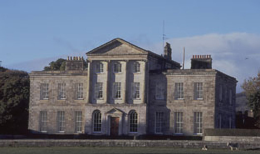 Charleville Housecountry house · 622 yd
 Enclosure in Charleville DemesneEnclosure · 681 yd
 Powerscourt Housefarmyard complex · 699 yd
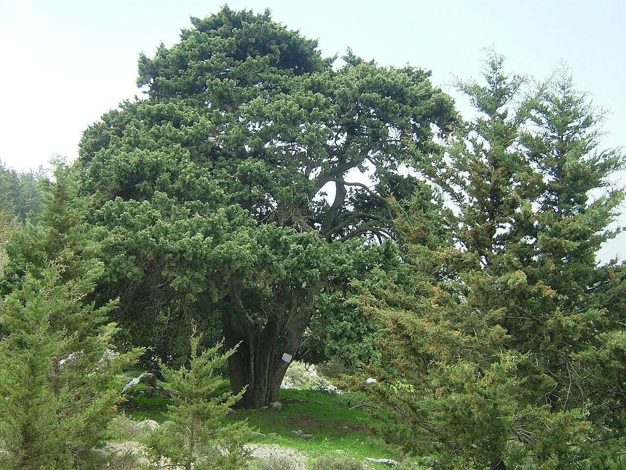 Mediterranean CypressMediterranean Cypress · 773 yd
 Powerscourt EstateHeritage attraction · 919 yd
 IndicatedCastle, motte · 1555 yd
 Enclosure in AnnacriveyEnclosure · 1.0 mi
 Lover's LeapNamed rock · 1.6 mi
 MaulinMountain / peak · 2.3 mi
 The Sugar Loaf WayWalking route · 2.3 mi
 Great Sugar LoafMountain · 2.3 mi
Other information
Photo: Credit not shown in the picture search · Rights wording not checked; contact us if this picture should be removed